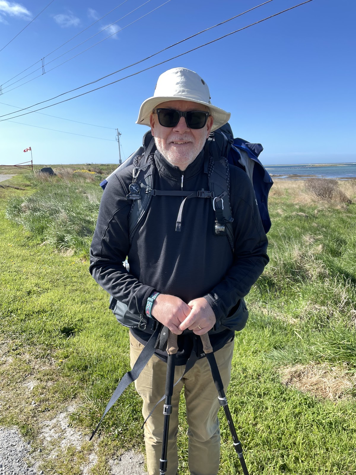
Between May 18 and July 5 of 2023, I walked from The Hawk on Cape Sable Island, the southern tip of Nova Scotia, to its northern tip at Cape North on Cape Breton Island, a 1000+ km trek. This is the story of part of that journey. See these posts to read about the whole journey:
- Cape to Cape #1 – Getting Ready
- Cape to Cape #2 – Cape Sable to Halifax
- Cape to Cape #3 – Halifax to Moser River
- Cape to Cape #4 – Moser River to Port Bickerton
- Cape to Cape #5 – Port Bickerton to Port Hastings
- Cape to Cape #6 – Port Hastings to Inverness
- Cape to Cape #7 – Inverness to Cape Breton Highlands National Park
- Cape to Cape #8 – Cape Breton Highlands National Park to Cape North
A big thank you to everyone who has bought me a coffee over the past year. The Buy Me a Coffee service allows patrons like you to fund writers like me, to cover things like the costs of running this blog, new shoes and gear, and journeys like this. If that sounds like a worthy idea to you, then go ahead – keep buying me coffees.
Where am I now?
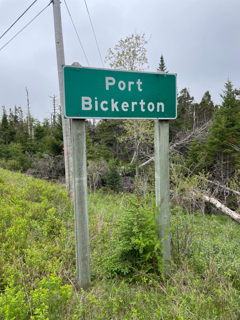
In Port Bickerton, sitting in Whitney’s Corner Store so I can use the WiFi, get some breakfast, and eavesdrop on the locals chatting.
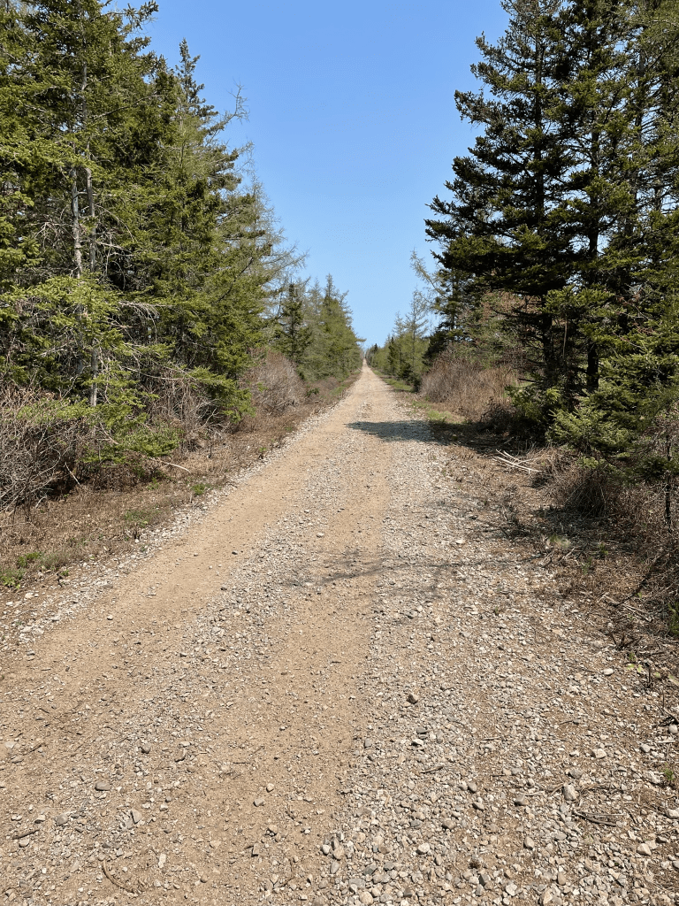
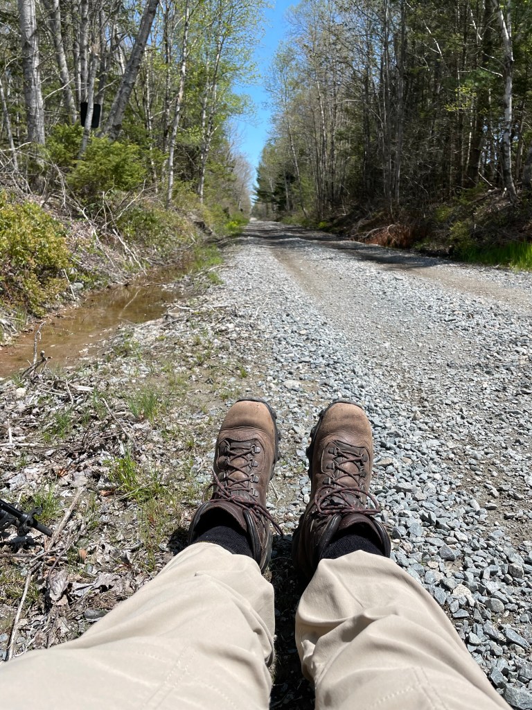
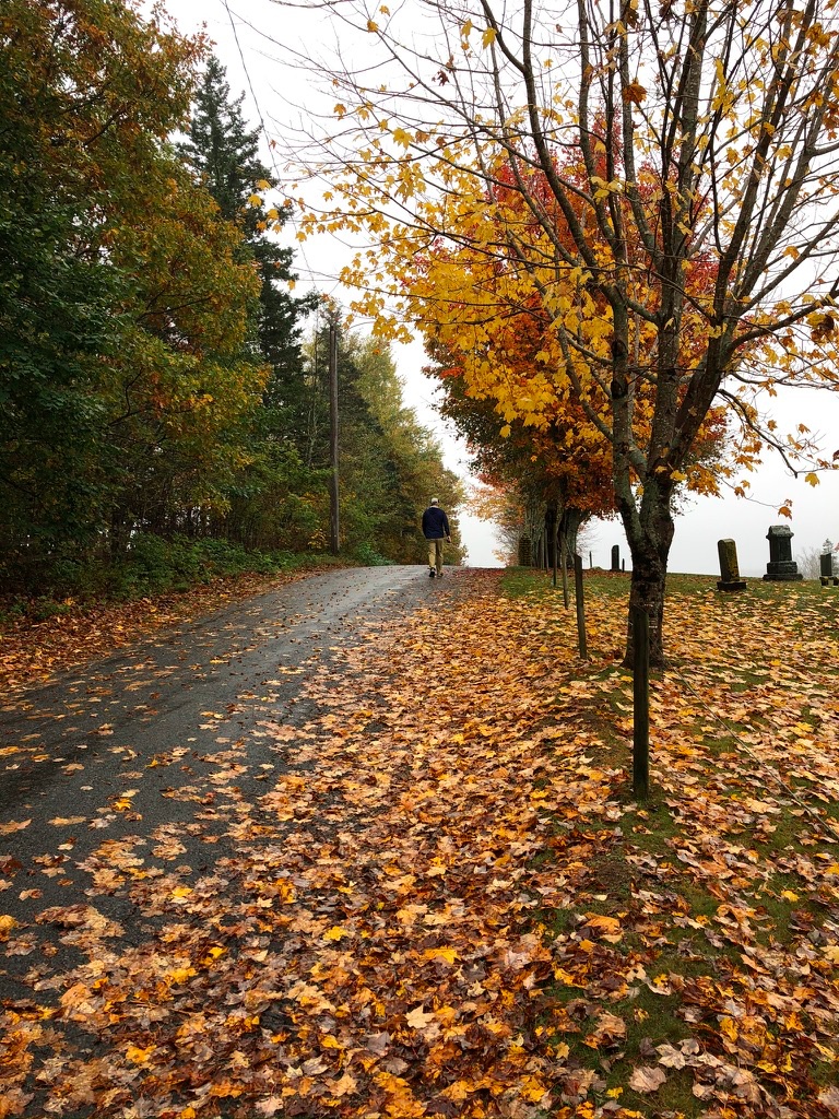
Since Thursday, I have walked from Moser River to Liscomb Mills, then from there to Sherbrooke, and now to Port Bickerton (which the locals seem to pronounce as Beckerton).
Here are some stats about the walk so far:
- Total kilometres walked – 628
- Total # of days spent walking – 25
- Total # of steps walked – 855,000+
- Total # of hours spent walking – about 162
- Total # of stairs climbed according to FitBit – 2450
Looking ahead, I have just under 400 km still to go, give or take a few. I have 16 more walking days planned – we’ll see whether I need to add one or two. Hope not, but those hills and mountains on Cape Breton Island get bigger every time I review my plans.
Sleeps and Eats
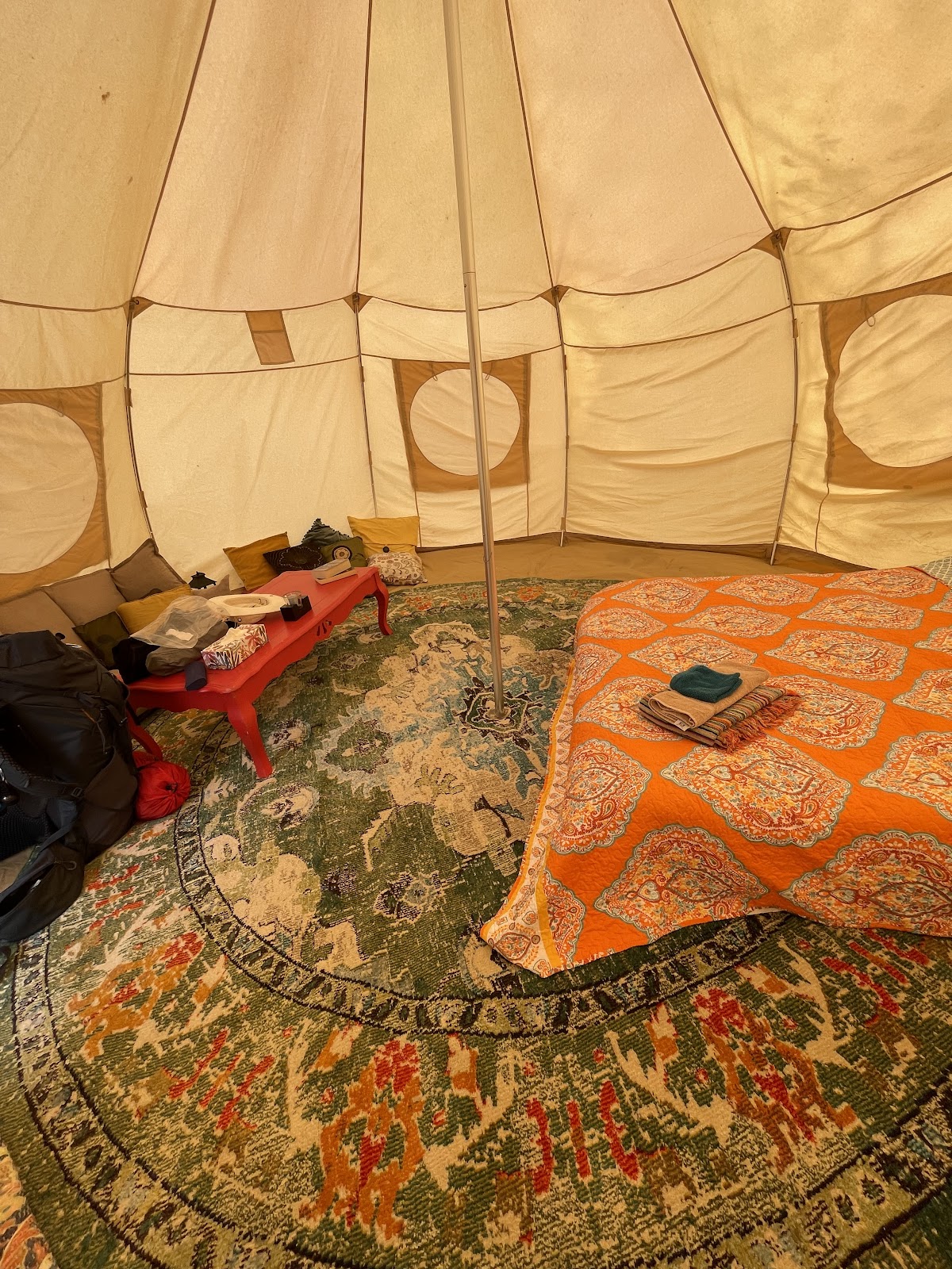
I spent a couple of nights at the Liscombe Lodge, and very welcome it was in the pouring rain on Wednesday past, when I walked from Port Dufferin to Moser River.

It’s a nice resort-style inn, with outdoorsy facilities like hiking trails or indoorsy ones like swimming pools – the sort of place that’s in most of the tourist guides and attracts people from all over. While I was there I overheard bits of German and French, English lilts and American twang, and Maritime and Ontario accents.
The demographics, this time of year, are skewed to an older guest – I was one of the younger diners one night, just looking around. Then again, school isn’t out yet so families are still a few weeks away. But there was a nice little ceremony I noticed when walking past one of the ballrooms, to see what I think was a high school graduation party in progress. Good on them.
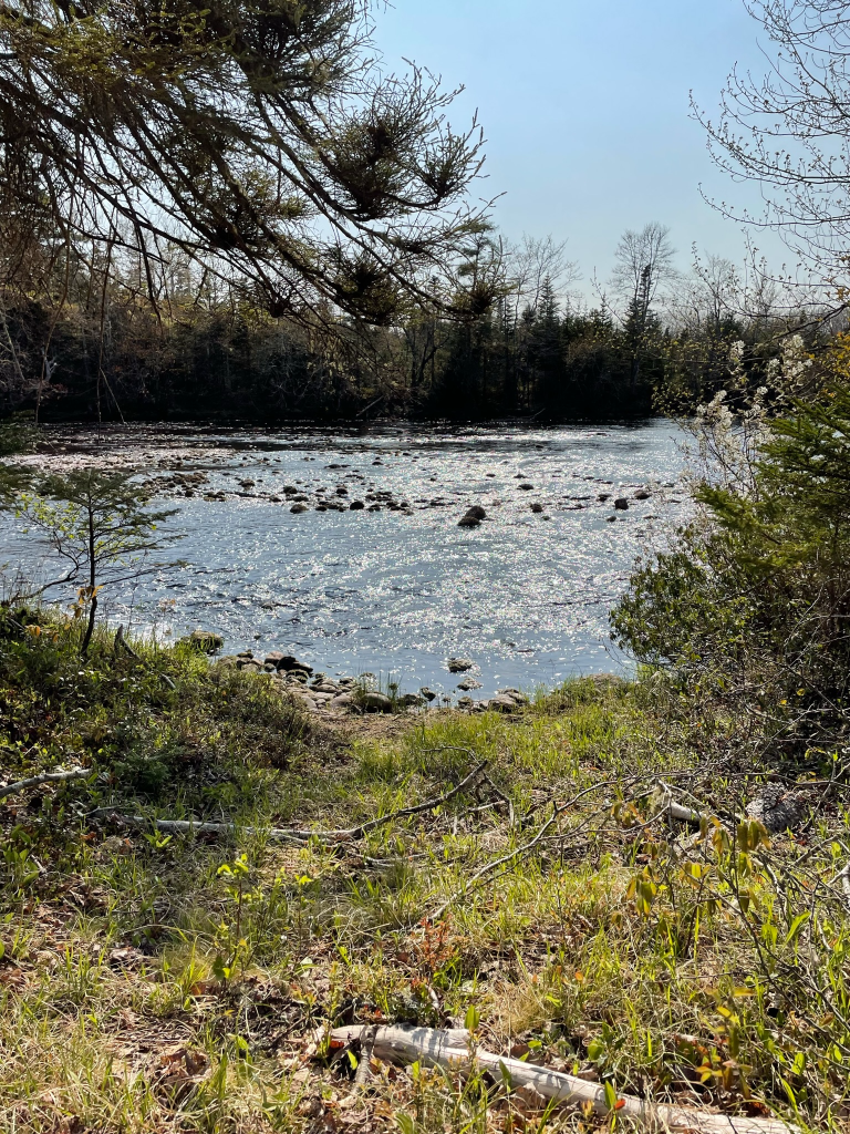
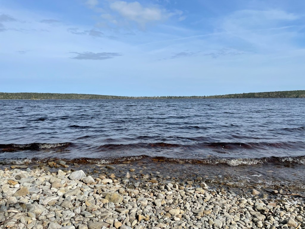
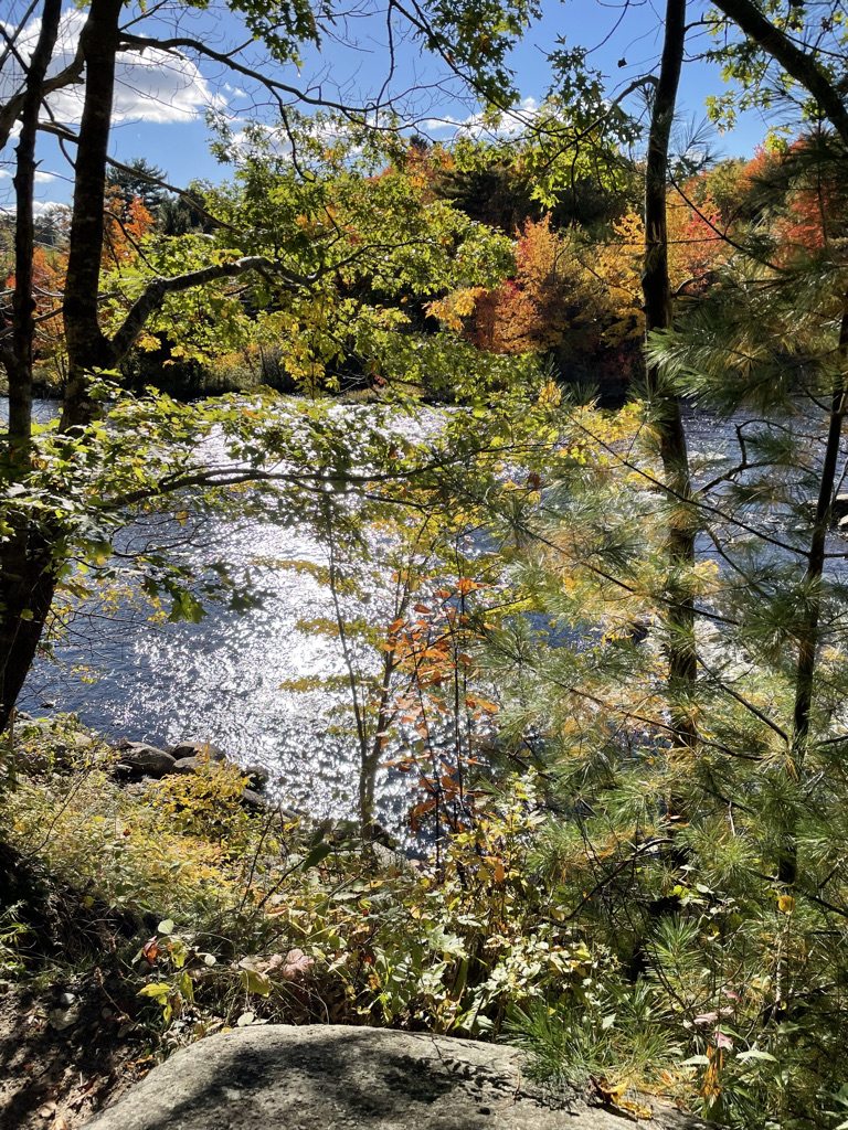
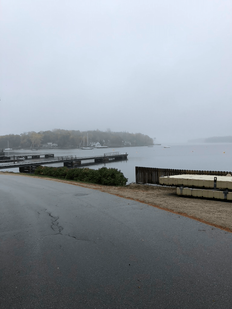
I also camped for a night at the River’s Edge Campground in Sherbrooke, a nice place by the St Mary’s River.
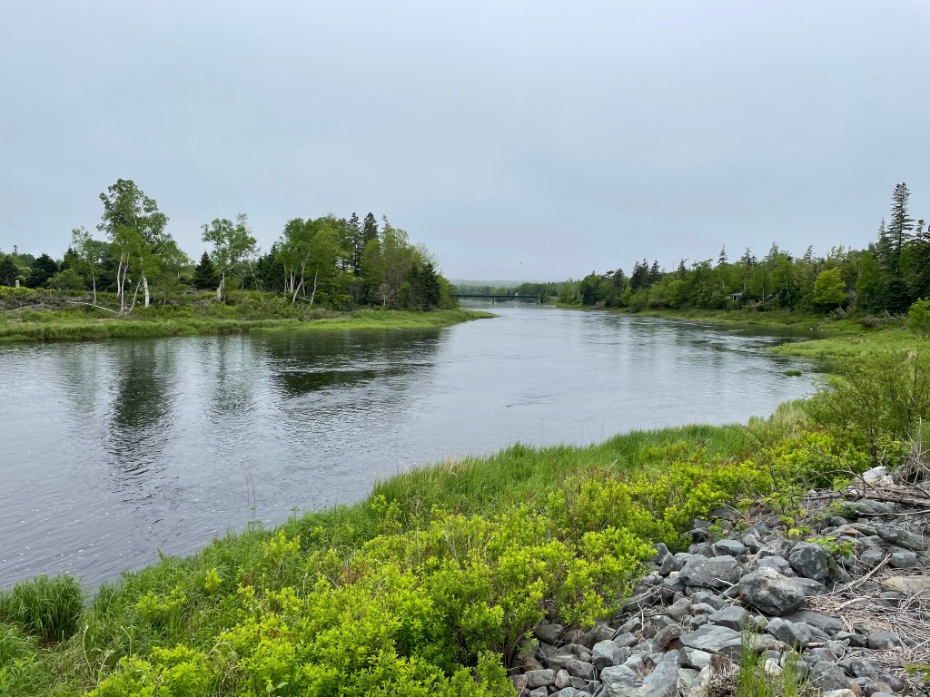
The view over the water was lovely, watching the swallows swoop and dive, and the sound of it burbling made for a peaceful sleep.
And this morning as I write this, I had a wet and windy night of it camping on some property in Port Bickerton owned by Whitney, of Whitney’s Corner Store. A big thank you to her and her husband Kevin for letting me do that.
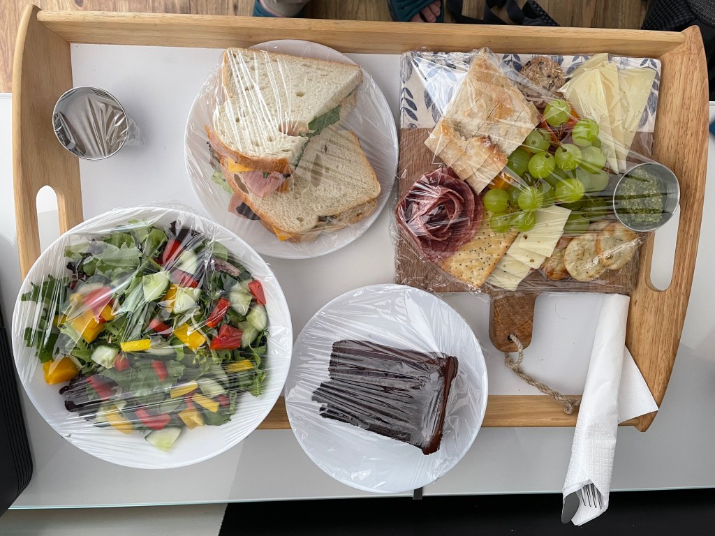
And, by the way, they are also a restaurant serving a generously-sized order of fish and chips, amongst other things, which I had for dinner last night – just what I needed after 6 hours of walking. Plus they do a hot breakfast (yummy veggie omelette), which solved my cooking in the rain conundrum.
I also took advantage of the opening of the Sherbrooke Market to browse, pick up lunch, chat with some locals, listen to music, and wolf down a delicious grilled sausage. Open Saturday’s, starting June 17 this year and probably running through Labour Day.
Stories
In a previous post, I talked about the God of Fools, who has been looking over my shoulder on this trip. The other day, I set out from Moser River to walk to Liscomb. I started out at a good pace, motoring along and taking pictures of things along the way.
I came upon a picturesque church

and went to grab my phone, only to realize in a panic that I didn’t have it. After patting all my pockets 3 times, I decided to leave my pack at the church and back-walked along the road. I finally found it more than a kilometre away, lying on the shoulder of the road at the last place I’d taken a pic. It must not have slipped into my pocket securely.

I thanked my stars that it had fallen on the road shoulder, so it didn’t get run over. But retrieving it cost 30 min of the day, so I decided to skip a bit of a detour I had planned to make, taking an extra hour to follow the coast around by Mitchell Bay.
But the God of Fools was working behind the scenes. By not taking the detour, it meant I was back to the Lodge about 2 minutes before the heavens opened to a one-hour downpour. Had I not dropped my phone, I would have gotten soaked.
*****
Hikers doing one of the long distance trails in the US, such as the Appalachian Trail or the Pacific Crest Trail, are often helped out by locals along the way, with little gifts of food or baked goods, cold drinks, or rides from the trail to nearby towns to pick up supplies. The hiking community likes to call them Trail Angels.
And on my journey so far, I’ve had help from several Trail Angels here in Nova Scotia.
- The kind local gentleman outside Voglers Cove who gave me a lift back to town after I made a wrong turn
- My neighbours from Lunenburg, Susan and Robert, who drove down to Sable River to bring me a hot dinner and treats
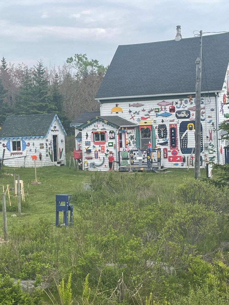
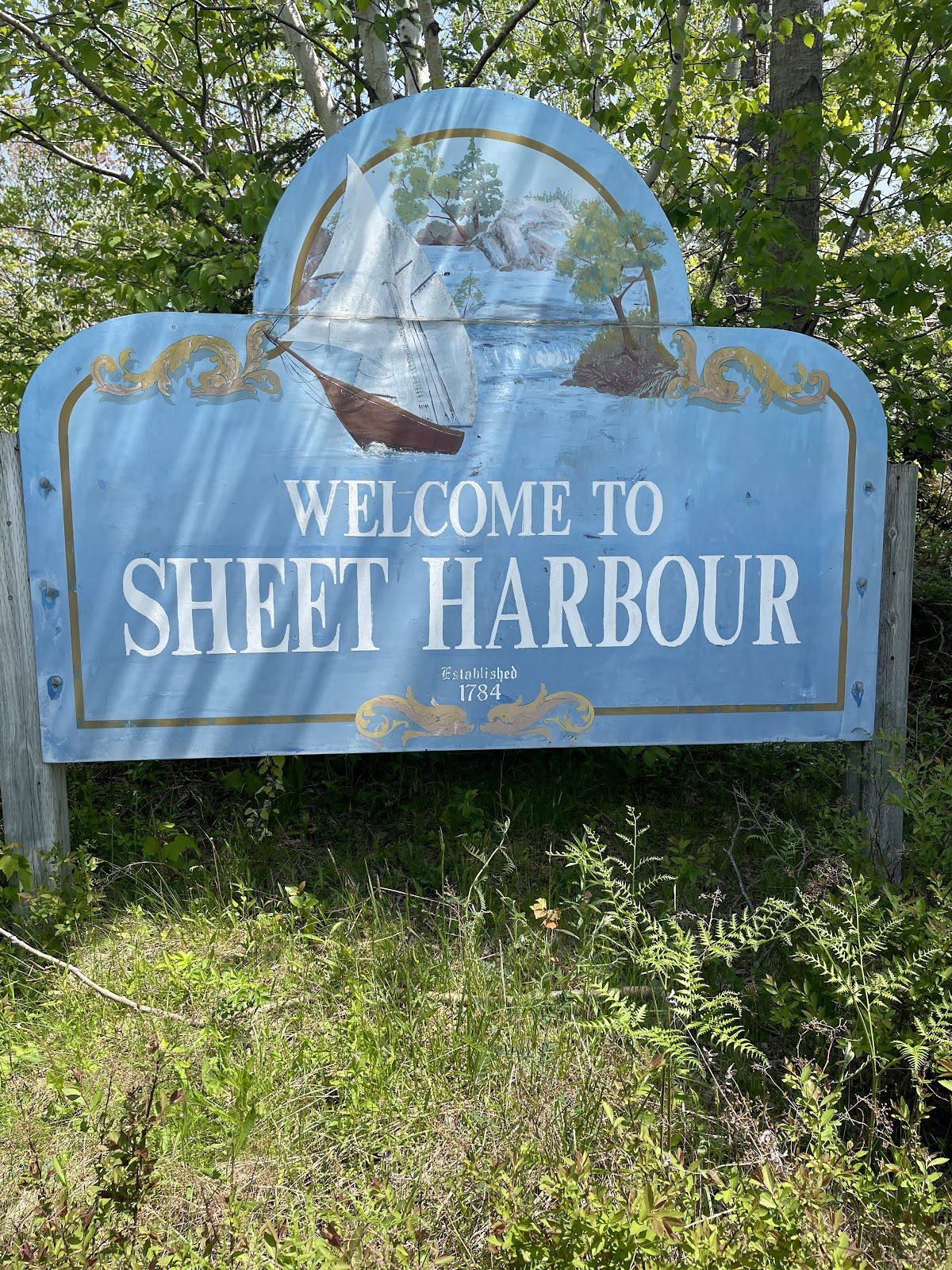
- The cheerful and chatty ladies whom I met in Sheet Harbour, who slyly bought me breakfast while I was nattering on about my trip
- The firefighters from Sheet Harbour who called their chief to get me permission to camp behind the fire hall in Moser River (a welcome offer, but one that I declined due to the heavy rain that day which led me to arrange a lift so I could stay at a hotel)
- The kind woman who saw me walking to Sherbrooke as she drove there, picked me up a sandwich and a bottle of water, and dropped them off with a “thought you might be hungry and thirsty” when she saw me on her drive back
- The local Port Hilford baker who saw me at the Sherbrooke Market, and gave me a homemade chocolate cookie when she came across me 15 km later along the road.
- And the dozens of people I’ve chatted with along the way who have wished me well, and the hundreds of who have brightened my journey with a car horn toot and a wave.
I’ve been amazed and gratified and uplifted every day by all of these acts of kindness. Thank you everyone.

Where next?
I’m 3 days walk from Guysborough, where Ann is joining me for a couple of nights while I take a rest day. To get there I need to trek along Route 211 from Port Bickerton to Isaac Harbour and connect with Route 316 to Drum Head to camp, and then keep going Larry’s River for a stay at Murphy’s Inn, and finally on to Guysborough. I’m really looking forward to the break.
And from Guysborough, I have one more night on the mainland at Linwood, and then it’s over the causeway and onto the Island. I’m looking forward to that as well – I haven’t been to Cape Breton in 30 odd years.
I’m getting there, one story at a time.

Route
Here’s the original plan. I have more or less followed it as written until part way through Step 9, where I had to move off the trail, skip steps 10-13, and just followed the road from East Chester and through Halifax (step 14).
This latest bit has seen me start at Step 15, for Step 16 followed route 207 instead of the trail, did step 17 and 18, and am now in the middle of a step 19. After that, it’s still more or less the plan as described.
Start atThe Hawk on Cape Sable Island, and follow coastal roads to reach Barrington Passage.Pick up the Shelburne County Rail trail and follow it to Clyde RiverThen walk along the tedious Highway 103 toShelburneWhere you’ll get back onto the rail trail to walk toLockeportAnd then from Lockport, continue following the rail trail through and past theTidney River Wildernessarea to reach Highway 3 atSummerville.Where you continue on the highway for a bit and then get back onto the rail trail to reachLiverpoolAnd then continue on the rail trail up to around Port Medway, before exiting onto Route 331, the Lighthouse Route coastal road, to walk all the way toLeHave.From LeHave, take the ferry over the river and walk toLunenburgon the local back roads, and thenFrom Lunenburg, take theRum Runners Trailthrough Mahone Bay, past Chester, and on past Hubbards to Upper Tantallon, and thenDetour south onto the Joshua Slocum Trail to reach old dirt roads through Five Bridges Wilderness Area to reach Glen Margaret, where youPick up Route 333, the Peggy’s Cove Road, to walk down to thelighthouse, and then bear east towards Prospect to connect withThe Old Halifax road which takes you north back to Glen MargaretWhere you connect onto the old St. Margaret’s Bay Road to walk east to HalifaxAnd then walk through the city to the ferry terminal.There you catch the ferry over to Woodside in DartmouthTo reach theShearwater Flyerrail trail, which takes you northeast to LawrencetownWhere you follow back roads to Porters Lake and then onto Highway 7 to reach Chezzetcook,And then keep following Highway 7, pastMusquodoboit, Jeddore, Ship Harbour, Spry Bay,Sheet Harbour, Moosehead, Ecum Secum, and Liscombe, all the way to Sherbrooke.- Where you turn onto Route 211 and follow the coast road northeast to Isaacs Harbour, and then
- Branch onto Route 316 and follow that to Larry’s River.
- At Larry’s River, you follow (natch), Larry’s River Road north to reach Highway 16 outside Guysborough,
- And Highway 16 takes you to Boylston where you get onto Route 344, which
- Bears northeast and then north and then west, around the coast to Aulds Cove, where the TransCanada Highway Canso Causeway clambers across to Cape Breton Island.
- You feet fall onto the Celtic Shore Coastal Trail, and follow that all the way to Inverness.
- From Inverness, follow Highway 19 to Dunvegan and then branch onto Route 219 along the coast to Margaree Harbour.
- Pick up Highway 30 and follow that to Cheticamp, and Grand Etang where you’ll enter Cape Breton Highlands National Park.
- Follow hiking trails, including the Skyline Trail, northwards before rejoining Highway 30 again.
- Continue along that north until you reach Fishing Cove, and detour there down hiking trails to the water.
- Retrace your steps back to Highway 30 (the Cabot Trail) and follow it north to Pleasant Bay
- Turn the corner and follow the Cabot Trail east, up across the island past Big Intervale and Sunrise to reach the hamlet of Cape North (not the actual Cape North, just yet).
- Turn onto the Bay Saint Lawrence Road and follow that to Bay Saint Lawrence.
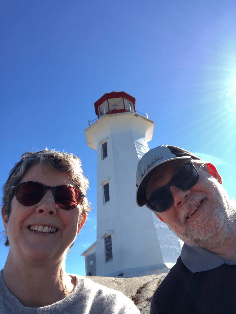
- Follow the Money Point Road to reach your goal, the lighthouse at Cape North!
- Walk back to Bay Saint Lawrence and meet your darling wife who will drive you to Baddeck for a well-earned rest
If all goes well, I’ll finish in early July 2023. More blog posts to follow, of course.
[insert buy me a coffee footer]
Like what you read? Buy me a coffee. Your donation helps offset the costs of maintaining this blog.