Between May 18 and July 5 of 2023, I walked from The Hawk on Cape Sable Island, the southern tip of Nova Scotia, to its northern tip at Cape North on Cape Breton Island, a 1000+ km trek. This is the story of part of that journey. See these posts to read about the whole journey:
- Cape to Cape #1 – Getting Ready
- Cape to Cape #2 – Cape Sable to Halifax
- Cape to Cape #3 – Halifax to Moser River
- Cape to Cape #4 – Moser River to Port Bickerton
- Cape to Cape #5 – Port Bickerton to Port Hastings
- Cape to Cape #6 – Port Hastings to Inverness
- Cape to Cape #7 – Inverness to Cape Breton Highlands National Park
- Cape to Cape #8 – Cape Breton Highlands National Park to Cape North
A big thank you to everyone who has bought me a coffee over the past year. The Buy Me a Coffee service allows patrons like you to fund writers like me, to cover things like the costs of running this blog, new shoes and gear, and journeys like this. If that sounds like a worthy idea to you, then go ahead – keep buying me coffees.
Where am I now?
In my hotel in Bay St. Lawrence, drinking Lunenburg Ironworks Bluenose Rum from a tea mug and eating a somewhat worse-for-wear bar of Peace By Chocolate that I’ve been carting around in my pack for two weeks since Antigonish, after completing my journey by reaching Cape North. Done.
*****
How I got here from Cheticamp, the précis version:
- followed the Cabot Trail highway through Cape Breton Highlands National Park and on past it to the town of Cape North
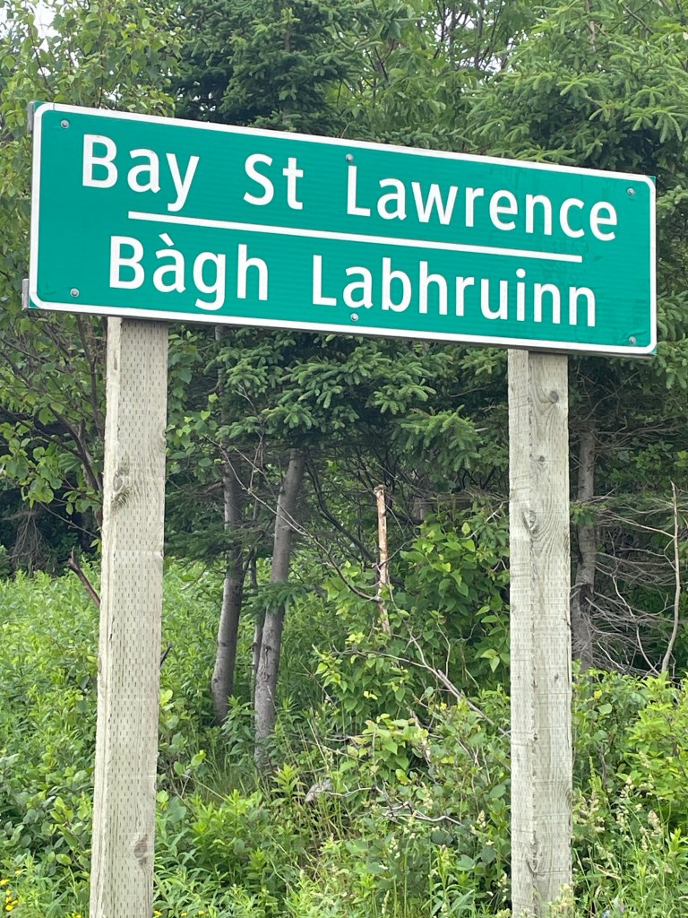
- turned north and followed the Bay St Lawrence road to that town, at the top of the island.
- from there, slogged up the Money Point Road to reach the lighthouse
- slogged back the same way to return to the hotel where I’m staying
*****
There was a bit more to it than that of course. When I left Cheticamp, I had a ride booked to take me to where I’d left off, at the parking lot for the Skyline Trail. It was July 1, Canada Day, and I was expecting the road to be busy, but for the first hour I mostly had the road to myself. Quiet enough, in fact, that I saw a moose about 30 meters into the bog and bush.
Shortly afterwards, a Mountie passed me and waved. And when I thought about the beaver I’d seen the day before, I reckoned that was as Canadian of a hat trick as you could want on Canada Day. Eh.
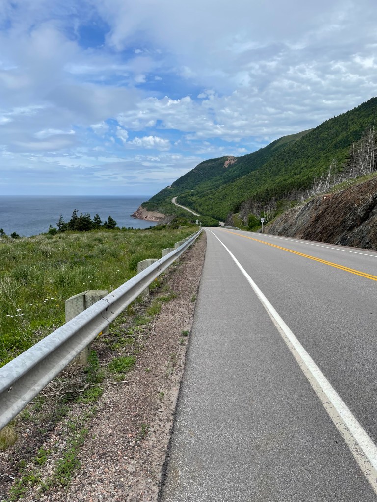
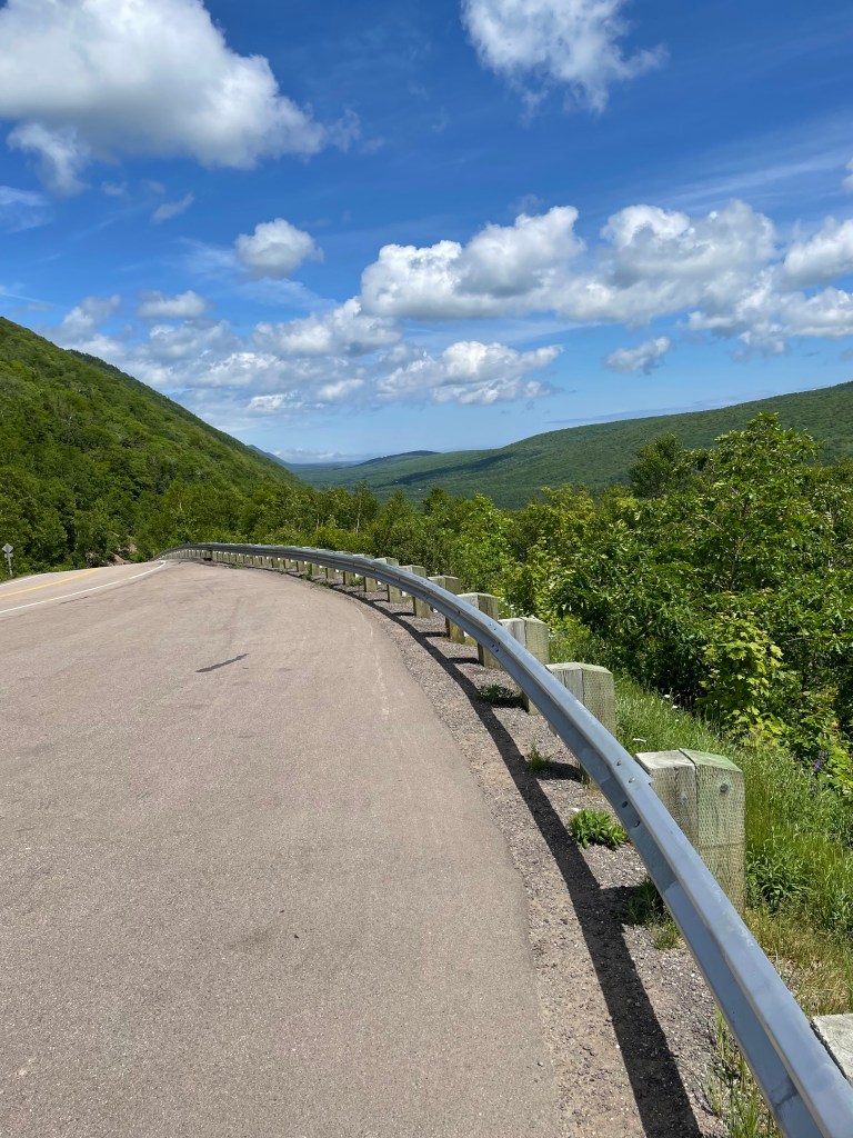
I had climbed to the interior plateau the previous day, so it was relatively easy walking up and down modest dips and rises before beginning the descent to Pleasant Bay. There were several viewing points along the way and I took advantage of those for rest stops in the muggy heat.

Dropping from 400 meters to near sea level takes only about 4-5 km, so the road twists through S-bends, sometimes at about 8% grades.

It was hard on my legs, tougher in fact than the climb the day before.
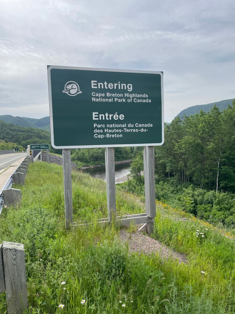
And I crossed out of the Park and entered Pleasant Bay.
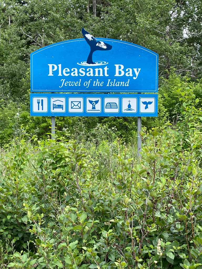
With clouds building, I chugged on through, stopping only at the local restaurant to borrow their Wifi for a few minutes to send a text home, and at the general store to pick up dinner – ramen noodles! – pressing on to reach MacIntosh Brook campground before 3:00.

I was worried because there are only about 10 spots at that campground and I had visions of no room at the inn. But when I arrived to see about 6 or 7 cars in the parking lot, I was surprised, in looking around, to see no tents or campers. There’s a short hiking trail out of that campground and apparently everyone else was off on that.
I walked around and picked a good spot, set up my tent, and went into the well-equipped cooking shelter. Empty. I quickly unpacked my cooking gear and made myself a cup of tea. I spread out my gear. I took off my shoes. I plugged in my phone to charge, and got out the iPad to read a book. I made myself quite at home, really.
And then it started to rain. It was still sunny off to the west, so I thought it would be brief, but two hours later it was still raining. All the hikers had left and I had the place to myself. I was starting to think about sleeping in the cooking shelter when a young single mom arrived with two kids.
Her English was only moderately better than my horrible French, and we had one of those fractured conversations where the gist of the meaning gets across with gestures and the occasional word.
And then after a while three cyclists arrived, and set up. And before I knew it we were having a very Canadian conversation, swapping thoughts on the virtues of different camping gear and where to get it, sharing travel stories, and comparing horror stories about the bane of outdoor life in Canada – mosquitoes, black flies, deer flies, and horse flies – “and then a big one flew right up my nose!”
A very fitting end to Canada Day.
*****
In the morning I was up early, finishing breakfast and packing up to make an early start – it promised to be hot and muggy, and I had another climb day to do. It’s 15 km from MacIntosh Brook to the east edge of the Park where the Big Intervale campground is located. To get there you have about 350 meters of vertical up and vertical down to do.
The road rises gently at first, and when the hills start you’re quickly onto an 8%-9% grade – nearly a meter of height gain for every 10 meters forward.
I took it slowly, sweat dripping in the muggy heat. The road shoulder sometimes narrows to near nothing, so I was listening for oncoming traffic while walking the road. A cyclist passed me, pushing himself steadily, weaving across the road sometimes, but never stopping. “Allez, allez, allez!”, I shouted, and he grinned through gritted teeth.
It took me more than an hour to crest the mountain and reach the plateau. I took a break there sitting on the steps of an emergency shelter, and took off my soaked shirt to dry for a bit in the wind.
The downhill, like before, was harder on my legs than the up. I could feel my Achilles tendons protesting as I gradually moved from viewing point to viewing point, until I finally reached the lower flat section.
The Big Intervale campground was a major disappointment. I had known in advance that it was unserviced, but so was MacIntosh Brook. I was dismayed to see that in this case “unserviced” meant no running water, no flush toilets, no cooking shelter, no food storage lockers or decent trees to hang a food bag, and only 3 lousy tent sites with minimal trees to screen and provide some shelter. And it was forecast to rain that night.

I hemmed and hawed. Stay? Press on 12 km (and 145 meters more climb) to the town of Cape North, where there was a hostel? Or try to hitch a lift back to MacIntosh Brook?
I didn’t have the energy to get to Cape North, and staying put seemed a last resort, so I ended up by the side of the road with my thumb out. No takers for nearly an hour while I was being nipped by flies. Granted, I did look sweaty and my prominent backpack was probably off-putting as well. And then a young family of 5, and their dog, stopped and I piled into their van.
We chatted away for the 10 minute ride – did you see any moose? Yes, one. We saw 5! Where are you going? Guess how much my pack weighs? Was that your green tent at MacIntosh Brook yesterday? – we saw it when we came out of the trail there.
They were lovely, gracious, and didn’t overtly wrinkle their noses at my sweaty aroma, and I thanked them profusely when they dropped me off. A Trail Angel family.
That night, once again it seemed like I’d be the only camper and I was actually preparing to just sleep in the cook shelter, when a family came in just as it was getting dark. I didn’t want them coming in to find me sleeping on a bench, so I quickly set up my tent and crawled in, as swarms of mosquitoes buzzed against the mesh.
*****
It rained fairly hard overnight, and during a lull in the drops at 6:30 in the morning I quickly packed up and moved everything into the cook shelter. I spread the tent out to dry, made breakfast, and got myself organized for the day. After the previous day’s experience, I was reckoning on another hour or more to hitch a lift back to Big Intervale.
And then a park employee came by to check on things, and we got chatting about my journey, which he must have found interesting enough that he become Trail Angel #2, breaking the rules to give me a lift back to where I’d left off.
A 2-hour walk in off-and-on rain brought me to Cape North, where I had been looking forward to breakfast at the only restaurant in town. It was closed when I got there, however, opening in about 30 minutes, so I wandered down to the local general store to pick up some groceries. Turns out dinner and lunch and breakfast for the next two days were about to be tortilla wraps with cheese and sardines, fruit cups, and some yogurt drinks for the vitamins.
After catching up on email while I had lunch at the restaurant (after 2 days of no cell data or voice service in the park), I finished my day reaching a little place that offered very basic hiker cabins for the night.
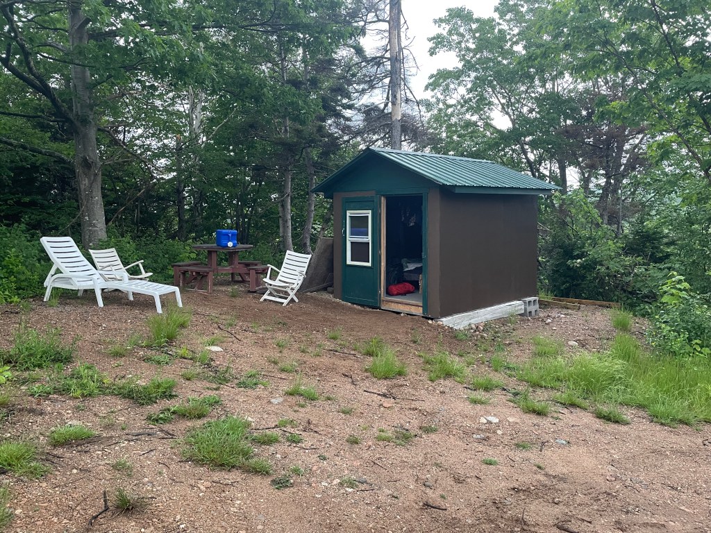
But the outdoor shower I took in the rain was refreshing, steaming under hot water while cold drops fell from the sky. And while the hut was just a roof and walls and a simple bed, it was worth it when the heavens poured a deluge overnight, hammering on the tin overhead at 4 a.m.
*****
And then the next day, it was off to Bay St Lawrence, after stopping for an hour to have coffee with Gerard, the owner of the rustic cabins. A very personable and friendly native of the area, he gave me some great tips about the Cape North trail.
The road was surprisingly busy with traffic, but it didn’t take long to climb up into the hills and over a low pass to come down into St Margaret’s Village

and then on to Bay St Lawrence.
I headed straight for the local seafood takeaway, and arrived to find it closed. Since I was by the water anyway, I made sure to take a selfie standing at the very end of the road, the northernmost bit you can drive to on the Island, and took a pic looking back south.
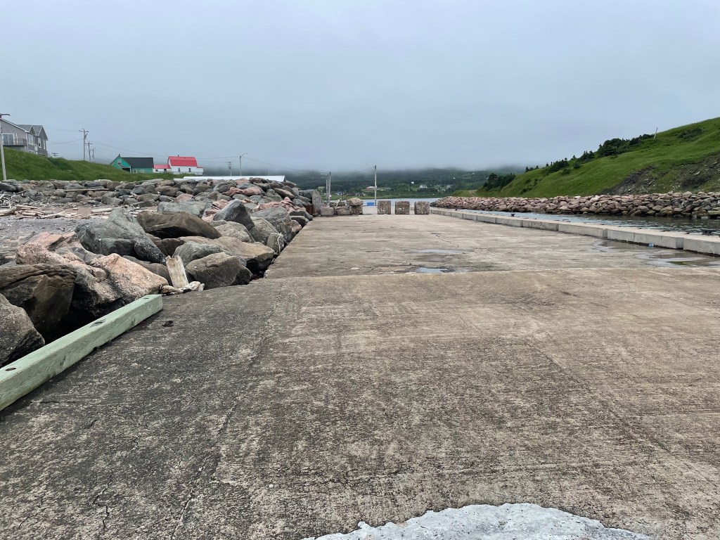
I went up to the motel where I was staying and wimped out on camping on their grounds, instead opting to stay in an RV they keep for overflow guests. I didn’t think I’d sleep that night, but eventually did, after walking back down to buy fish and chips from the seafood shack which had in fact opened for the evening.
*****
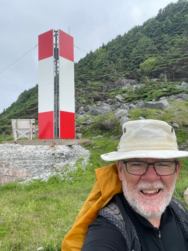
And then this morning, it was up with the birds, eating quickly, and putting only day essentials into the pack. I took a selfie and sent it to Ann, who said I looked way too serious.

But the thought of climbing over the mountain that you can see over my shoulder, and then back again, was weighing me down. That, and the realization that I was a few hours away from the finish.
The climb up, and then down the other side, was every bit as tough as I had thought it would be.
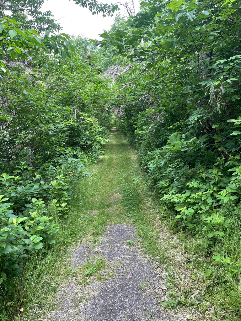
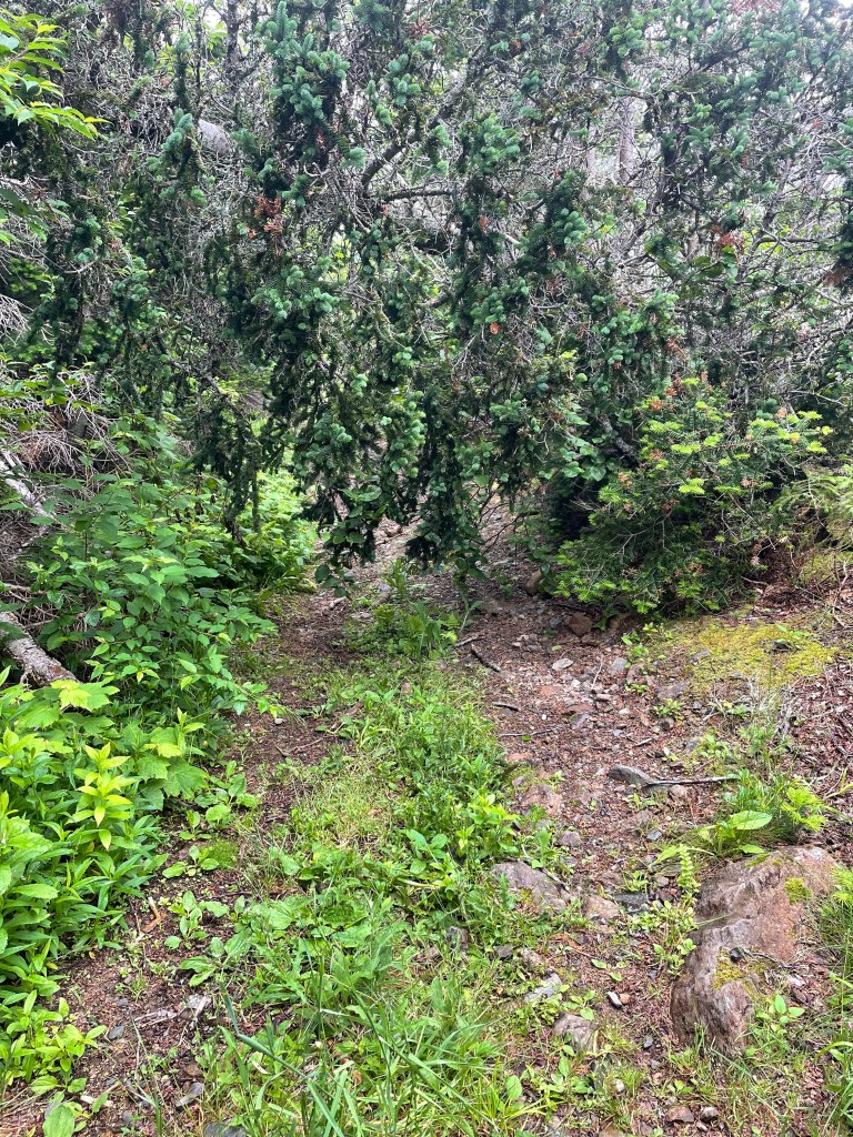
The old road that the lighthouse keepers used to use is now essentially just a very rough rocky trail, rising in spots at about a 20%-25% grade – a meter of rise every 4 or 5 forward.
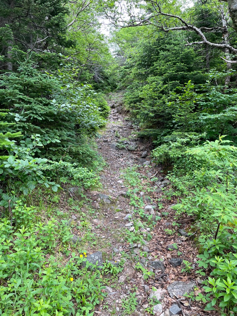
It took me more than 2 hours to cover the 5 or 6 km distance to the other side, with a few close shaves where fallen trees nearly blocked the trail completely.
Stumbling down the last few meters brought me to a rough path along open grassy meadows at the foot of the cliff, the last bit of northward trek to do.
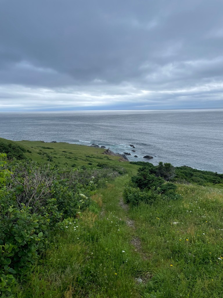
I swore out loud when, just a few meters from reaching the point, coastal erosion almost stopped me – there was a narrow, looks-dodgy-but-what-choice-do-I-have, more-or-less way past,

and then I was through and standing at the base of the light.

I took the selfies that I had told myself I would, and tried to smile or at least look like I was happy to be there.

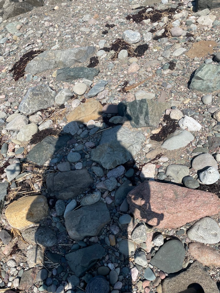
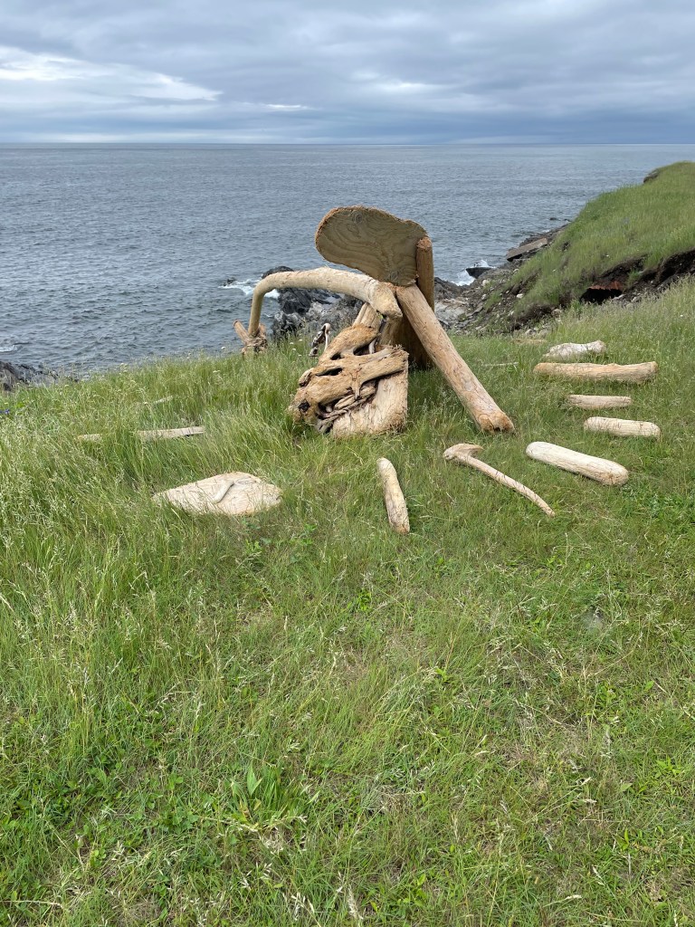
But I couldn’t sit down. I wandered around for a bit, exploring and finding some photo worthy sights,
and then set off to see if I could get water at a brook that was on my map. I found the stream

and filled the bag of my water filter kit, clambering up from the stream to walk back to where I’d left my pack, and then had to retrace my steps to pick up the filter hose that I’d dropped.
By the time I sat down to eat something, it had started to mizzle a light mist, the kind that gets you wet without seeming to rain hard.

I asked myself what I was thinking. I hoped for something profound, but maybe that will come in hindsight. All roads come to an end, and if you’re lucky it’s where you wanted to go.
And then, just like that, I packed up, and turned to go – walking south for the first time in 7 weeks.
Sleeps and Eats
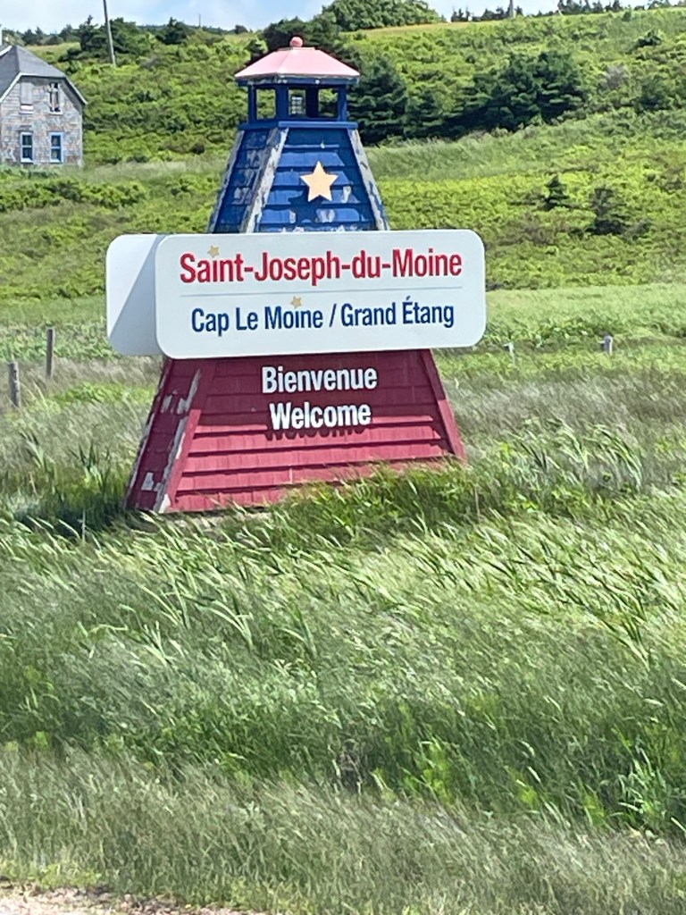
This was a feed-myself stretch – oatmeal, dried fruit, cheese, tortilla wraps, ramen, and granola bars. There’s a grocery store in Cheticamp, but after that just a couple of modest general stores in Pleasant Bay and Cape North.
I did have a takeaway fisherman’s platter from the Seaside Shack in Bay St Lawrence. Meh. But I was hungry.
Oh, and I had a decent fish lunch at Morrisons in Cape North – that was ok, the staff were friendly, and they let me park my soppy, wet-clothed butt for almost 2 hours while I poached their wifi.
As for stays, there were two camping nights in the Park at the MacIntosh Brook campground. I liked it – the only thing missing was a hot shower, but with essentially no one there, I made do with a standup washcloth bath and that was refreshing enough.
Gerard’s place, which he calls Asbaigh-a-Tuath (the Gaelic for Aspy Bay), is deliberately quite simple. It’s basically the same price as a campsite in a private campground, without the RVs and with a roof instead of a tent. It suited me fine, and meeting Gerard was a bonus.
Finally, I am currently at Burton’s Sunset Oasis motel in Bay St Lawrence. It’s a small 5-room place that books up in summer, as it’s the only motel in town. It’s simple, very clean and tidy, has kitchenette facilities in each room, and a great view back to the west over the town.
Stories
I was sitting at a scenic lookout, about an hour’s walk outside of Pleasant Bay. There had been a little gaggle of cars and gawkers there when I arrived, but in the way of the Cabotistas they took their selfies and quickly motored on. Once they left it was peaceful, and I sat in the sun enjoying the quiet.
A car pulled in with Ontario plates and two couples got out, a bit older than me I thought. They saw my pack and came over. We got chatting about my walk, and then one of the ladies asked “so where are you from?”
“Lunenburg.”
“Oh, were you born there?”
“No, I was born in the most southerly place in Canada.”
“Leamington! You were born in Leamington? We’re from Leamington too!”
And then a cascade of “Do you know so and so?” followed.
After a bit of further chat, one of the guys just shook his head and chuckled- “ what are the odds?”, he said.
*****
At another scenic stop, I walked in to see a car parked and a mom and dad taking pics of their kids with the view in the background. I slumped off the backpack and sat on the guardrail to catch my breath.
The dad noticed and came over, and we started chatting. He asked where I was walking to, and I explained about the tip to tip thing. He was from Michigan, so I tried to convert kilometres to miles for him. “Wow, that’s impressive.” He turned to his teenage daughter and drew her in – “did you hear that, he’s walking the whole of Nova Scotia”. Then asked if he could pick up my pack. “Holy cow, you’re carrying that!?!”. “Yep”.
Why does everyone want to know how much my pack weighs?
*****
I had finished the journey, reached the Cape, and now I was on my way back. It had been tiring already, and I was halfway up the mountain on the return when I thought I heard voices. Huh?
I looked up to see two people coming down, soon joined by two more. The pair of couples were from Britain, and they asked what I had thought of the Cape. “It was pretty special, especially for me since it’s the end of a long journey – I’ve walked a 1000 kilometres the length of Nova Scotia to get here”.
“Well, then we’re glad that we didn’t get there too soon and disturb you.”
“Yes, thank you for that.”
“Where next?”
“Well, actually I’ve always wanted to walk Lands End to John o’Groats”.
“Oh you should.”
Yes, I thought, I should. But not now.
Where next?
Home. Well, Baddeck first, and then Mabou. But I can’t wait to get home.
Route
Here’s the original plan. I have more or less followed it as written, though had some changes due to the fires around Halifax. But I’m done. Time for step 33.
Start atThe Hawk on Cape Sable Island, and follow coastal roads to reach Barrington Passage.Pick up the Shelburne County Rail trail and follow it to Clyde RiverThen walk along the tedious Highway 103 toShelburneWhere you’ll get back onto the rail trail to walk toLockeportAnd then from Lockport, continue following the rail trail through and past theTidney River Wildernessarea to reach Highway 3 atSummerville.Where you continue on the highway for a bit and then get back onto the rail trail to reachLiverpoolAnd then continue on the rail trail up to around Port Medway, before exiting onto Route 331, the Lighthouse Route coastal road, to walk all the way toLeHave.From LeHave, take the ferry over the river and walk toLunenburgon the local back roads, and thenFrom Lunenburg, take theRum Runners Trailthrough Mahone Bay, past Chester, and on past Hubbards to Upper Tantallon, and thenDetour south onto the Joshua Slocum Trail to reach old dirt roads through Five Bridges Wilderness Area to reach Glen Margaret, where youPick up Route 333, the Peggy’s Cove Road, to walk down to thelighthouse, and then bear east towards Prospect to connect withThe Old Halifax road which takes you north back to Glen MargaretWhere you connect onto the old St. Margaret’s Bay Road to walk east to HalifaxAnd then walk through the city to the ferry terminal.There you catch the ferry over to Woodside in DartmouthTo reach theShearwater Flyerrail trail, which takes you northeast to LawrencetownWhere you follow back roads to Porters Lake and then onto Highway 7 to reach Chezzetcook,And then keep following Highway 7, pastMusquodoboit, Jeddore, Ship Harbour, Spry Bay,Sheet Harbour, Moosehead, Ecum Secum, and Liscombe, all the way to Sherbrooke.Where you turn onto Route 211 and follow the coast road northeast to Isaacs Harbour, and thenBranch onto Route 316 and follow that toLarry’s River.At Larry’s River, you follow (natch), Larry’s River Road north to reach Highway 16 outsideGuysborough,And Highway 16 takes you to Boylston where you get onto Route 344, whichBears northeast and then north and then west, around the coast to Aulds Cove, where theTransCanada Highway Canso Causewayclambers across to Cape Breton Island.You feet fall onto theCeltic Shore Coastal Trail, and follow that all the way toInverness.From Inverness, follow Highway 19 to Dunvegan and then branch onto Route 219 along the coast toMargaree Harbour.Pick up Highway 30 and follow that toCheticamp, and Grand Etang where you’ll enterCape Breton Highlands National Park.Follow hiking trails, including theSkyline Trail, northwards before rejoining Highway 30 again.Continue along that north until you reachFishing Cove, and detour there down hiking trails to the water.Retrace your steps back to Highway 30 (theCabot Trail) and follow it north toPleasant BayTurn the corner and follow the Cabot Trail east, up across the island past Big Intervale and Sunrise to reach the hamlet of Cape North (not the actual Cape North, just yet).Turn onto the Bay Saint Lawrence Road and follow that toBay Saint Lawrence.Follow the Money Point Road to reach your goal, thelighthouse at Cape North!- Walk back to Bay Saint Lawrence and meet your darling wife who will drive you to Baddeck for a well-earned rest
Like what you read? Buy me a coffee. Your donation helps offset the costs of maintaining this blog.