Blog posts are a labour of love for me, and yet there is a cost to running this site and organizing my walks. If you’d like to help with that, I’d really appreciate something for my tip jar. The Buy Me a Coffee service allows patrons like you to fund writers like me. If that sounds like a worthy idea to you, then go ahead – keep buying me coffees. Thank You Very Much to everyone who has contributed already!
*****
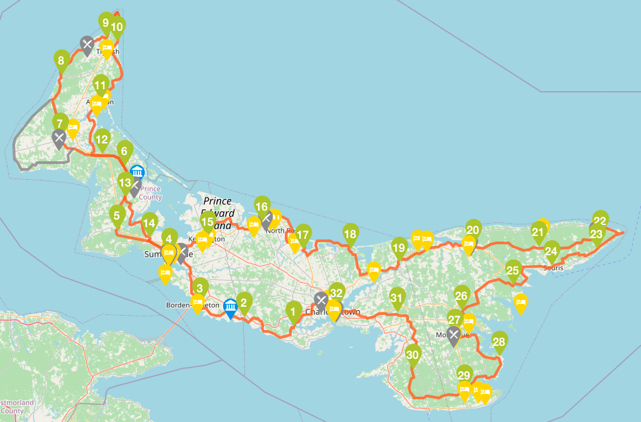
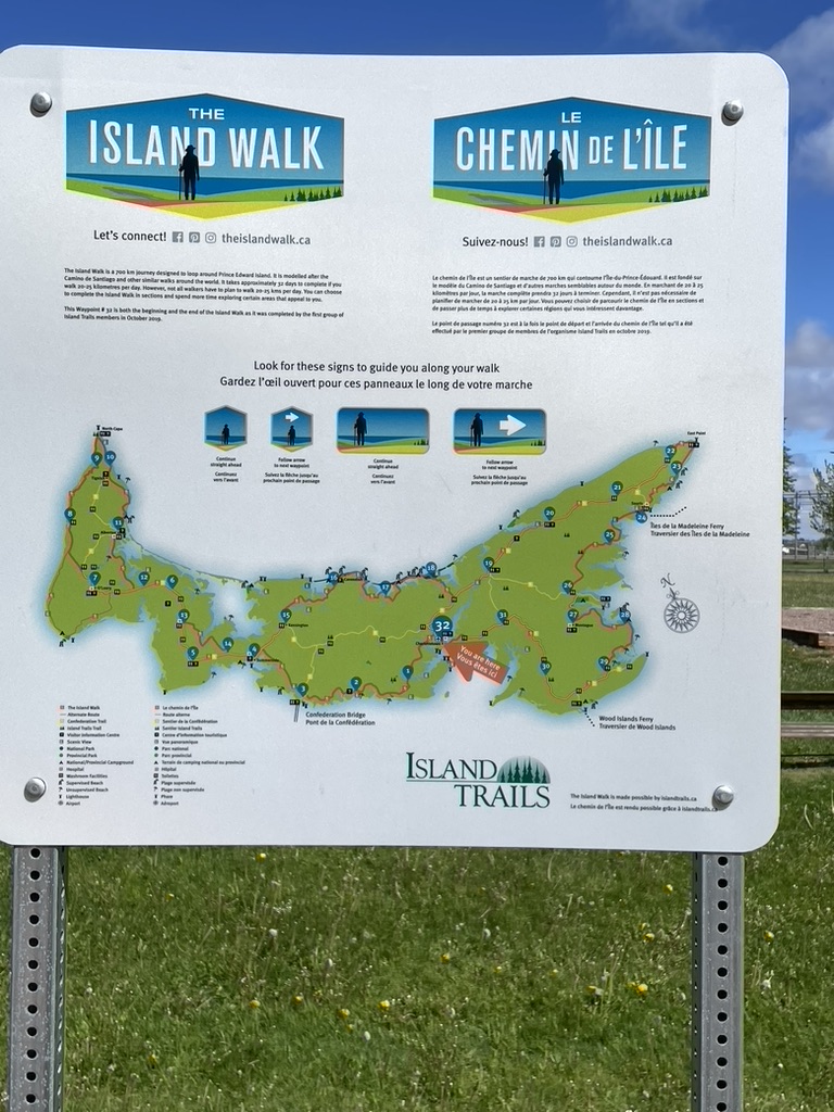
In June 2022, I completed the 700 km Island Walk, around Prince Edward Island. You can read about that walk over several posts, starting with this one.
This was before Hurricane Fiona caused so much damage on the Island, impacting many of the places I visited. Some of what I describe below may have changed by the time you do the Island Walk, but please, don’t let that stop you. PEI needs your tourist support as it recovers.
This post is about days 1-3 of my journey, between Charlottetown and Summerside. The links below have the details from the Island Walk website for the Sections that I covered during this part of my journey.

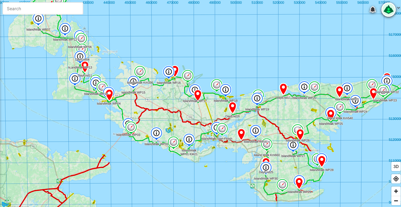
Note, by the way, that the section #s on the official website are somewhat confusingly labelled. They are based on each finish point, and since the overall walk start point is also the overall finish point, the 1st section is labelled as “32-1” with its accompanying web page titled as Section 32 (because it starts at the end of the last section, which is section 32) and goes to the end of section 1; thus the 2nd section is labelled as “1-2” and its webpage is titled Section 1, and so on.
That said, the links below reflect the sections as I walked them.
- Section 32-1 – 21 km from Charlottetown to Dunedin.
- Section 1-2 – 24 km from Dunedin to Victoria-by-the-Sea.
- Section 2-3 – 20 km from Victoria-by-the-Sea to Borden-Carlton.
- Section 3-4 – 22 km from Borden-Carlton to Summerside.
I highly recommend that you use the Island Walk website and its directions for the details of the official route, since that route can change from time to time such as for detours around major road works. I also encourage you to use the official route and its sections as a starting point. Find your own pace, detour as and when your fancy takes you, walk the sections in whatever order seems sensible, and remember – everybody walks their own camino.
If you are planning on doing the walk in chunks spread over several months or years, this portion is a good intro to the route and the island.
Beginnings
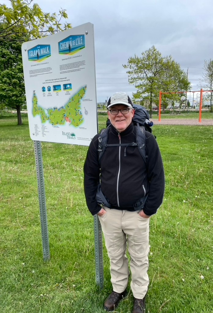
That first morning dawned a bit chilly with low grey skies and a breeze. I was fidgety and nervously eager to get started, and had to force myself to take a minute and check my pack again, even though I’d gone over it twice the night before. One cup of coffee, a bite of toast, a banana. Time to go.
My original plan had been to travel from bed to bed each day, as you would on the Camino de Santiago, so that every day I’d carry all my clothes, toiletries, electronics, and some snacks and food with me. That approach changed as I delved into the planning and realized that it was impractical to walk from accommodation to accommodation – in some stretches I’d have to do 40km or more, and deviate by several km from the route to find a place. As a result, I settled onto the idea that I’d base myself in several places for a few days at a time, and find transportation to take me to/from the trail each day. (See this post for details of my plans and gear choices).
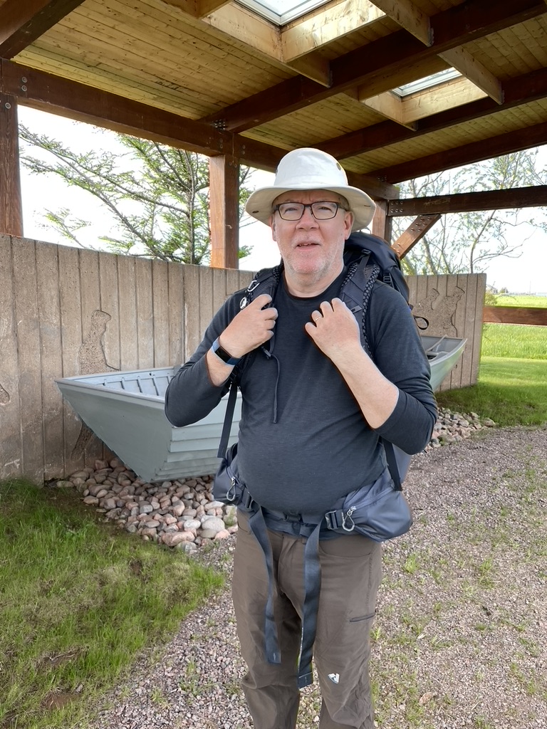
So come that first morning, even though my wife Ann was still in PEI with the car and was travelling to our next accommodations in Summerside, I still chose to take all my clothes and gear with me that first day, just as a kind of penance for my original sin of mis-planning. That meant that my pack was pretty heavy for a day hike – about 11 kg. And since it was a cool morning, I was wearing a couple of warm layers.
I felt over-dressed and over-burdened as we walked together, a few blocks from the place we’d stayed at in Charlottetown over to Joe Ghiz park where the route starts. This wasn’t an Everest expedition but that’s how I felt. We didn’t say much. We reached the park, and then with little ceremony, Ann quickly took a couple of pictures, we hugged, and I was off.

In hindsight, that first hour, first morning, first day weren’t typical – I hadn’t yet found my routine. I fiddled with the shoulder and waist belt straps on the pack, trying to get it sitting just right on my back and shoulders and hips. I put on clothing layers and took them off. I started out with walking poles and then put them away. I was hungry but undecided about whether to stop and eat or just get going to let a rhythm build.
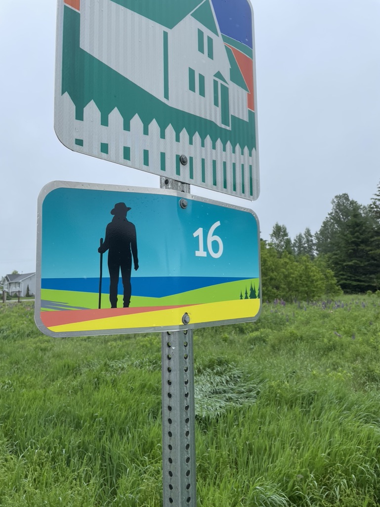
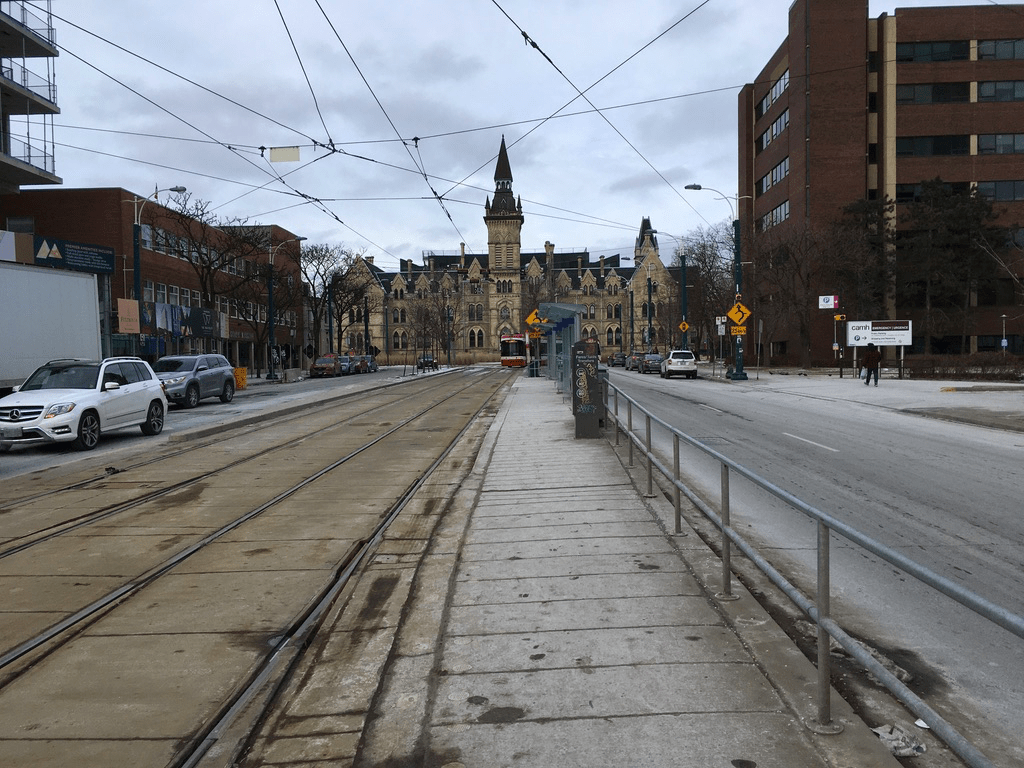
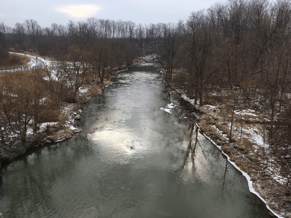
So I focused on walking. The 1st Section of the Walk starts at km 0 of the Confederation Trail in Joe Ghiz park, so the first couple of kilometres are along the Trail as you head north out of the city before turning west. This Section is “mostly a road walk with some great views of North River in Charlottetown and the Elliot River in Dunedin”, according to the Island Walk website.
And so I found it. Charlottetown does have some lovely quiet streets in its downtown, but a quick walk through them reminded me of an old joke I’d heard in England, about something being small but perfectly formed. Practlcally all of the downtown area (and there’s barely an uptown let alone a midtown) is within earshot of the bells of St Dunstan’s Basilica Cathedral. Joe Ghiz park is just a few blocks from the city’s centre, but it’s already on the outskirts of the downtown core in an area that at one point was obviously full of warehouses and manufacturing – hence a rail line, which is now the route of the Confederation Trail. All of that means that your initial sights on the Walk are urban/industrial, but you don’t mind because you’re Walking the Island Walk and eager to get going.
And in truth, the Trail is a good way to start the Walk since you’re away from traffic and there are benches and picnic tables where you can stop if needed, as I did with my adjusting and fiddling. And then, after only a few km, you realize that you’re already on the outskirts of Charlottetown, near the University of PEI, and there are farms on one side of the trail and big box retailers on the other.
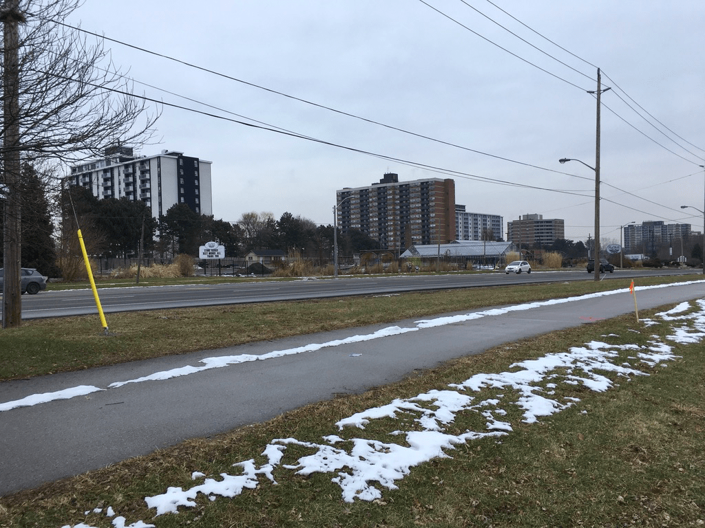
Quite soon, you leave the Confederation Trail and the road-walking starts, because in order to get out of the city you have to cross some rivers, which are bridged by busy streets and highways. In fact, I followed the same route outbound along Capital Drive that we’d driven into the city, past the same fast food restaurants and strip malls, none of which was any more interesting at foot speed in walking than it was at road speed in driving. At a busy roundabout, Capital Drive turns into PEI Highway 1, the Trans-Canada Hwy, and you follow that for a couple of km. You do pass the big Cow Creamery shop just out of town, if that’s your thing, but it had started to drizzle so that first day it wasn’t mine.
It was only once I’d clicked off perhaps 10km of the route, having left Charlottetown behind and reached the outskirts of the nearby town of Cornwall, that I left the Trans-Canada highway behind and started onto the secondary roads, to finally get into the countryside.
But having reached rural PEI after a couple of hours of walking, my bladder was nudging me and my stomach was agreeing. Looking around, I thought it would be completely appropriate to make my first rest stop at a Tim Hortons – Canadian roads from coast to coast to coast are practically paved with Timbits.
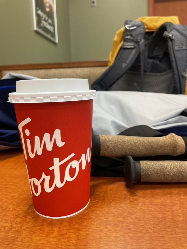
But, ironically, that turned out to be the only Tim’s stop I made on the entire walk, which in retrospect still surprises me.
I had assumed before the walk that PEI was covered with Tim’s locations just like the rest of Canada. I hadn’t accounted for two things, however. One is the relatively low population of PEI, which can only support so many coffee and donut shops, so those that exist are on the main highways outside a handful of largish towns, places which are often bypassed by the Walk route. The other is that Islanders divide their loyalties between Tims, the rival Robin’s Donuts chain, and the many ice cream stands on the island.
What I also learned, as the walk progressed, is that the low population density, concentrated as it is in places like Charlottetown, Summerside, Souris, and Montague, means that things like diners, coffee shops, cafes, and corner stores are often non-existant along the Walk route.
But that lesson was in the future – here I just wanted my medium dark roast double/double with milk, a breakfast wrap, and a bio break. And after I’d sat for a short rest, and asked the staff to fill my water bottle (another first time for something on that first day), and wondered why no one was looking at the weird guy with a backpack and walking poles because I secretly hoped that I could tell crowds of awed listeners about my Big Adventure, I hoisted my gear and got going again.
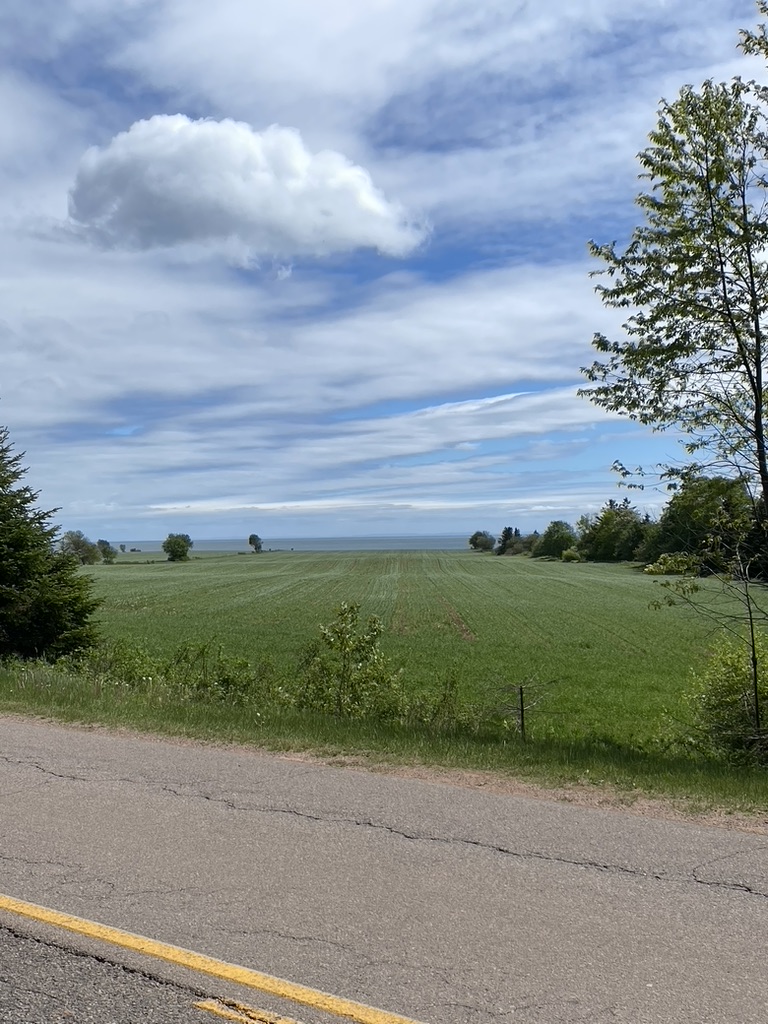
Continuing that first day, heading south and west along secondary roads into gently rolling farming country that’s only 10 km from downtown Charlottetown as the crow flies but which feels like it’s much further, I was taken by the quiet. I’d lived for 40 years in big cities, and I still associated walks with city soundscapes and background noises. Here, there was little road traffic, nor many people about. I barely heard a dog bark. Just the measured click of walking poles, the clip of boots on pavement, and the susurration of breeze-stirred leaves. I did notice the crows, though – noisy buggers. All, in hindsight, a foretaste of things to come, had I known it.
I reached the end of Section 32-1 at a crossroads near the hamlet of Dunedin. I was disappointed when I got there, expecting some sort of prominent landmark and in fact seeing nothing but more farms and fields, with just the Island Walk marker next to a stop sign to tell me I’d reached the end of this first Section. It was mid-afternoon, and looking around, I confirmed that, yep, quiet, green, crows – all good.
In planning the trip, I had broken it up into walk stages of approximately 30 km each because I had a goal of finishing in about 23 days instead of the suggested 32. So, because Section 32-1 is only about 21 km long, I continued walking. Section 1-2 of the Island Walk includes “lots of walking on red dirt roads with a canopy of trees overhead. Two of the nicest quiet dirt roads on PEI – Rebokary Lane and Ferguson Rd”, says the guide.
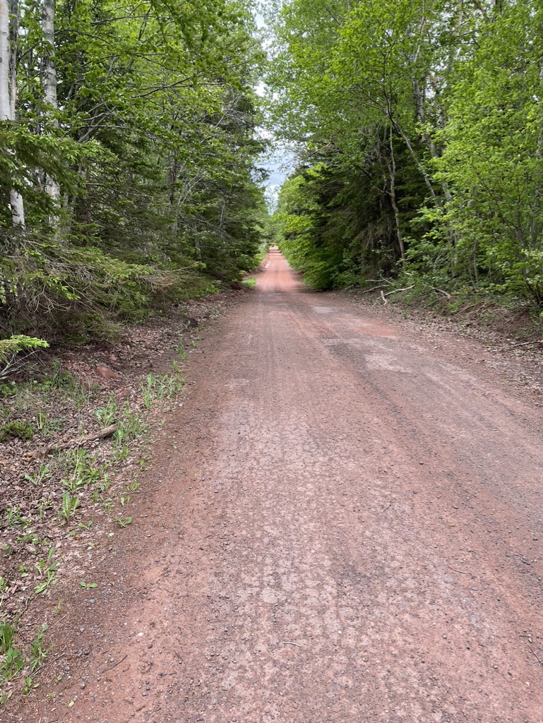
And that’s what I found at first – this Section brings you into the “real” rural PEI, as the route initially follows paved secondary highways and then the first of the many dirt roads I would follow over the Walk, up low hills and past sunken lanes and hedgerows and roadside bushes and freshly tilled fields. Again, though, a bit of a disappointment – “nicest red dirt roads”? Yeah, they’re red and they’re dirt and they’re roads, but that’s it? Just red, dirt, roads? I was underwhelmed at the time, but I later came to rather like these modest, unassuming yet iconic PEI byways.
Still, it was here that I noticed something that was to become a pet peeve as the Walk progressed. I was getting tired, at this point about 6 hours into my first day, and I really needed a pee. No gas stations, community centres, or other signs of civilization were to hand, and since I was on a dirt road, in the middle of seemingly nowhere, I reckoned I could be a country boy and duck behind a tree.
That solved the immediate problem, but while I needed a rest, I didn’t want to sit on the wet dirt – oh for a park bench or a convenient set of church steps – so I just shrugged off my pack for a few minutes while I stood under a tree and sipped some water. After that less-than-refreshing break, I glanced at my watch, mindful of the pick-up time I’d arranged with Ann, slung my pack again – which someone had filled with rocks, clearly – onto shoulders that I knew would show bruises later that evening, and cursed the stiffness in my hips and knees. “So you wanted to walk around PEI, huh? Move it, slow poke.” The first self pep talk.
Plodding on, southwesterly, I reached the end of the dirt road and merged onto the paved Route 19 highway that runs along the Argyle Shore. I could feel the hot spots on my feet turning into blisters as I walked, but I was damned if I was going to text Ann for an early pick-up. That first day was ending with what was the first of many end-of-day, put-your-head-down-and-just-get-on-with-it trudges, west along Route 19 for several more km.
My target was the Argyle Shore Provincial Park as a pick-up point. Looking ahead, I could see the road climbing a gentle hill and I’d think, ok, last one, and then I’d crest it and stride down and and then look up to see another one, and each seemed to get longer and longer and steeper and steeper. The sun had come out and there were some nice views out over the blue-green waters of the Northumberland Strait, looking charming and calm, and I could see the Nova Scotia coastline just across the water. Home, I thought. Just over there.
And then I looked up with about 500 m to go and saw my wife walking towards me, down a gentle slope, to escort me for the last few minutes of my first day. “How are you feeling?” “Tired”. I slumped into the car when we got to it.
It took about 15-20 minutes to drive into Summerside where we were staying, and by the time we got to our AirBnB, I could hardly get out of the car, the muscles in my legs having stiffened and the blisters on my feet ballooned. After hobbling into the house, it took a desperately needed mug of strong sweet tea, a long hot shower, and a restorative glass of wine before I could look at my feet. Ugly puffy blisters greeted me from the bottoms of several toes on both feet along with the side of my left foot. I took out my first aid kit, extracted some alcohol swabs, blister bandages, and antiseptic cream, and reached for my Swiss Army knife. Ann looked on with disgusted interest. “Eeewww”.
An appropriate word for Day 1. It had proven to be more challenging than I had expected. The low rolling countryside, up and down crossing ravines and small river valleys, had been unexpected – PEI is flat, right? I was surprised to see the stair count on my exercise tracker – so much for my assumptions of an easy walk.
The Argyle Shore
Rolling out of bed the next morning was easy, as I’d slept like a log. Standing up was the hard part. The popped blisters covered in bandages and moleskin didn’t bother me so much as the stiffness in my legs and back. I hobbled about for 15 minutes making coffee and a light breakfast, then gathering snacks, assembling sandwiches, filling water bottles, grabbing a spare shirt and pair of socks, and tucking everything into my pack. I was ready to go by 8:00.
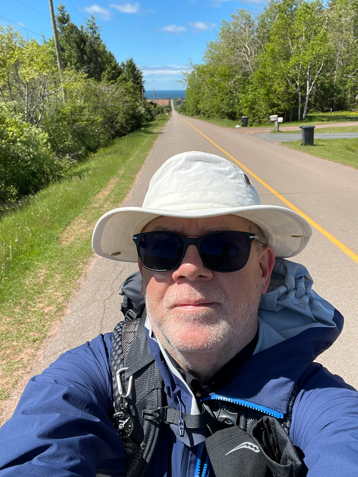
Ann drove me back to Argyle Shore Provincial Park, and I got out of the car feeling reluctence at the prospect of doing it all over again, competing with eagerness at the same time. But the sun was out, and while the westerly breeze had a bite to it, it seemed a fine morning to put on sun glasses, snug on my broad-brimmed hat, and shoulder my pack.
My goal that day was to finish the 2nd half of Section 2, which ends at Victoria-by-the-Sea, as well as then completing Section 3 of the route, which ends at Borden-Carlton. Altogether, that meant about a 32 km day.
I continued following Route 19 for several km to De Sable, and it took all of that to work out the kinks in my legs and feet. Or more precisely, to walk myself into a rhythm where I didn’t notice my feet. By the time I crossed the Trans-Canada Hwy to continue northwest on secondary and dirt roads, I was feeling relaxed and back into my mental walking zone, letting random thoughts play along with snippets of songs, tuning back into my surroundings occasionally to listen to the wind in the trees or inhale the rich earth loaming smells of the fields.
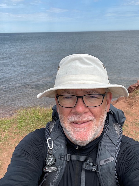
The route here along the Argyle Shore is relatively quiet, and compared to the northern shore up around Cavendish and the Prince Edward Island National Park, it’s relatively under-touristed. The day trippers go north from Charlottetown, so it’s the long term tourists who park their RVs here or rent seasonal cottages in places like the Argyle Shore. I passed several such sites, some with enviable views – since the road is set back from the shore by a km or two, the land between the road and the shore is privately owned and these campsites and cottage clusters get the seaside at first hand. And since it was very early in the season for tourists – the Provincial Park hadn’t even opened yet – there were few other people around. No walkers, no cyclists in view, and barely a vehicle.
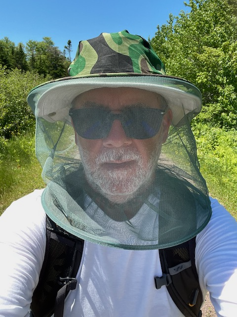
There are spots here on the route where you climb a bit, and can look back south across the Northumberland Strait, and the air that morning was sharply clear (I’d even call it a bit crisp with the chilly breeze). For the most part, the scenery was of farms and fields, holiday homes down private lanes, small patches of forest, and modest houses. Only a few barking dogs. And crows – PEI seems to have 10 times more crows than people. They caw, the sound I recognized, and they cry with screeching-baby like sounds that I hadn’t heard before, and the thought occurred that this was the reason why the collective noun is of a murder of crows.
Sections 2 and 3 are all road-walking, west along Route 19 and then north up Route 116 into some hills, west and then south along red dirt roads, and back onto Route 116 south, crossing the Trans-Canada again and heading for the shore, and then turning west along a causeway into Victoria-by-the-Sea – the terminus of Section 2. By this point, the breeze had freshened into a proper stiff headwind, a light gale even, so that I had to lean into it and hold onto my hat. Later in the walk, I would come to appreciate any breeze as a mosquito defence, but that morning it felt like a fight with the stubborn westerly wind.
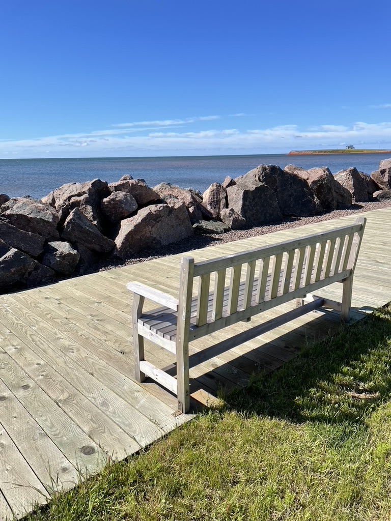
I took a break in Victoria, walking out along the wharf,
to stop for a late breakfast at a place out called Casa Mia. It was a nice stop, with a delicious omelette and friendly service. The restaurant’s views over the water were lovely. My planned 30 minute stop turned into 55 minutes, and it was a challenge to get up from the table and head back out just after mid-day, but I wanted to finish the 20 km of Section 3 that day by reaching Borden-Carlton by about 4:00 pm.
The Island Walk website says that Section 3 “starts with dirt road walking and then some road walking with a great view of the Confederation bridge”. Except that it’s more of a graveled road rather than a red dirt road, which granted isn’t paved but it is less pleasant to walk on gravel than packed red dirt – the stones can shift a bit under your feet so it takes more concentration. After a few km on this gravel road, I joined the bigger Route 10 highway, following it west for the rest of the day along the shore, through Augustine Cove to Cape Traverse. There were some glimpses of the Confederation Bridge, and as it slowly grew larger I knew I was making progress towards my goal for the day.
I was back into my walking rhythm after the break at lunchtime, and I was getting my pace figured out. If I sang Old MacDonald Had a Farm to myself at a moderate galloping beat, then that gave me a steady 5 to 5.5 km per hour pace. Over time, I tried other tunes. Little snippets of The Lion Sleeps Tonight or Sudbury Saturday Night. That helped, but when a song gets stuck in your head as you walk, it’s maddening, so I found myself looking around for some arresting sight to break my train of thought and change the music.
By mid-afternoon that day, I was learning that road-walking has its own challenges. Uneven shoulders scattered with chunks of pavement. Too many glimpses of roadside trash. And, worst of all, no place to sit and rest, no place for a pee. My habit on long walks, usually, is to take breaks every 90 to 120 minutes, and that was proving to be difficult here, unless I simply stopped by the side of the road and stood there with my pack off while having a drink. I did find a field with a small grove of bushes that screened me from the road, and had a bio break there. But places to sit were hard to find. And my feet were barking again, the blister bandages having rubbed off and balled up in my socks.
With steady walking, the distance to Borden-Carlton gradually shrank. 15 km to go. 10 km, then 5. The sun swung past its zenith and headed west to shine back into my face. At two pm, I checked the map to see where I was. At three, I looked again – closer but getting there by 4 was looking tough. And then, as I walked I told myself that it’s a marathon, not a sprint. Let your body tell you when to stop, so I did, a bit short of my end-of-day target of Borden-Carlton to complete Section 3, and instead texted Ann to pick me up about 3 km early, at Cape Traverse.
Summerside was closer, but still far enough away for my legs to stiffen up in the car again, and the hobble into the house must have had the neighbours wondering about the cranky old guy who was vacationing there. After my new daily ritual of a strong, sweet mug of tea and a hot shower, I confirmed what I had suspected, that my old blisters had new ones, and got out the first aid kit again. After dinner, I read for a bit, and dozed while I did so. The exercise and fresh air had tired me right out, so it was an early night.
Onwards to Summerside
That 3rd morning was the last time that my wife would be with me for a while on this trip, until the latter half of my journey. It was bittersweet to give her a hug that morning when she dropped me off in Cape Traverse, before she headed home to Lunenburg. I was still ramping up, learning and slowly getting fitter, and I was becoming more inwardly focused as I locked onto my goal. At the same time, a friend to talk to each evening is a good way to unwind, and now I’d be on my own for a bit.
But it was good sunny, breezy, warm-but-not-hot walking weather, and I felt rested and ready, as I set out along Route 10, watching as the car disappeared into the distance, The rural character of PEI is strong in this area, along the Northumberland Strait – farms, some views of the sea, farms, more views of the sea, occasional glimpses of the Confederation Bridge, and so on to, through, and past Borden-Carlton to finish Section 3 within my first hour of the day, and then across the Trans-Canada Hwy in Borden-Carlton where I onto start Section 4 along Route 10 towards Summerside.
The Island Walk website stated that in this Section I would “walk by farms and fields and through small communities, including Central Bedeque. Busy road entrance to Summerside (8 km), then a peaceful walk on the Confederation Trail right through the city.”
And for the most part, that’s accurate. This part of the route follows Route 10 for about 10 km, and about 5 km out of Borden-Carten I stopped at a church that had a picnic table out front, for a short rest and a water break. Getting up to leave, I had a chat with the woman who looked after the church, who came out to see who this strange person was. She asked where I was walking, and I explained about the Island Walk. She was quite interested, and wished me well, the first of many friendly people I met on my walk. It was only later that I realized that in more than 2 days of walking to that point, I’d yet to meet another walker or a friendly local.
After that welcome break, I continued west towards Central Bedeque, where I stopped at a great little place called Baba’s Kitchen for lunch.
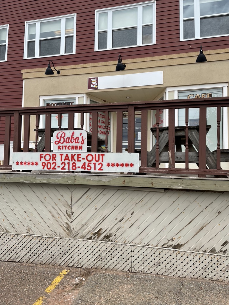
I walked in to find a queue of people lined up to place their orders, and several of the ladies in line saw my pack and asked where I was walking. It turned out that they were a group of quilters from all around the maritimes, in PEI for a quilting weekend. As we chatted, they asked where I was from – Lunenburg, I said. Oh, you have to meet so-and-so in our group, she’s from Lunenburg. And so I met Lynne, with whom I had a great chat. It turned out that she lived only about a kilometer from me, a nice little small-world moment.
After a very tasty sandwich and a coffee, I continued on my way. Outside Central Bedeque, the route joins and follows the Trans-Canada Highway (the “busy road entrance to Summerside (8 km)” part), and as I walked along I heard a series of cheerful car horn toots, as each of the quilters I’d met passed me – thank you ladies, that put a huge grin on my face.
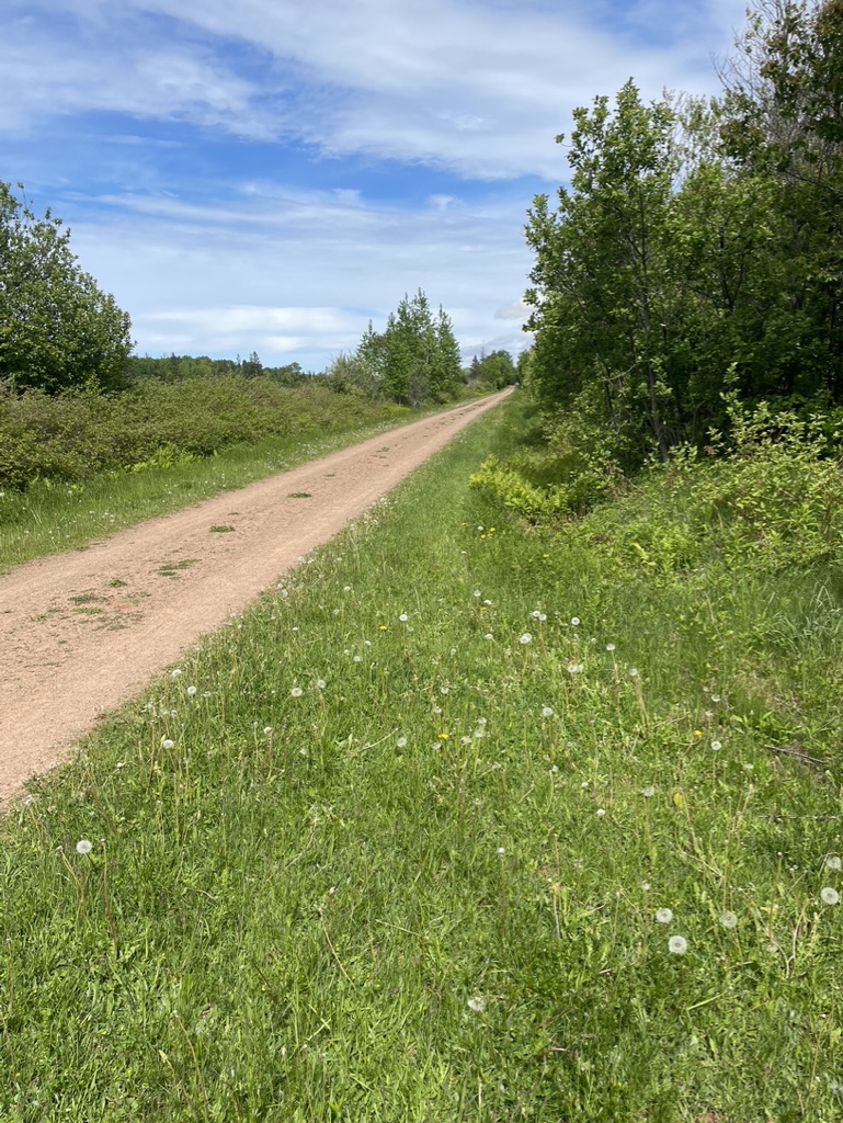
But soon after that, I realized that I didn’t much fancy walking all the way to Summerside along the busy and noisy Trans-Canada Highway with its trucks and cars. Instead I detoured, and followed empty sun-bathed secondary roads north to Wilmot Valley, where I joined the Confederation Trail at Travelers Rest about 5 km outside of Summerside.
That detour was pleasant enough, and it did get me to the end of Section 4 in downtown Summerside via the Confederation Trail,
just as the official route would have, but it was at the cost of walking an extra 8-9 km that day. My planned short day had ended up being longer than I’d thought and I was ready for a rest by the time I reached my accommodations in Summerside. Lesson learned – stay on the route.
I did notice, though, that as you get closer to Summerside, you start to shed some of the ruralness I’d walked through earlier. Summerside is the biggest community on the island outside of Charlottetown, and you pass ice cream joints, antique shops, and other seaside resort town things as you get closer to the town. Then, somewhat suddenly as you join the Confederation Trail for the last bit into town, your walk goes back to being quiet and shady and green – quite a contrast after the busy stretch of the Trans-Canada, and a welcome change at that.
It also struck me that Summerside is a community that can’t make up its mind as to whether it’s a seaside resort town or a service and light industry town. There’s a big Canada Revenue Agency office here, and a former air force base, along with a great boardwalk by the sea and yet more ice cream places. It’s clearly a service town, but it has these seaside touches too. All in all, however, I couldn’t quite like it – it felt sprawly and tawdry in places, missing those lovely wooden houses you see in other parts of the province.
And so I finished the first part of my walk. Three days to get into the rhythm of it with help and support from my wife. The next couple of stretches would be solo. I was looking forward to them.
Day 1 Summary – Charlottetown to Argyle Shore
- Pretty good day for walking – a bit overcast with a few showers in the morning, then sun all afternoon. Cool for June, about 6C in the morning, and quite breezy.
- Completed all of Section 1 (21 km from Charlottetown to Dunedin) and roughly half of Section 2 (which in total is 24 km from Dunedin to Victoria-by-the-Sea).
- Daily GPS distance = about 30 km, elapsed time almost 7 hours
- Fitbit daily stats = 31.4 km, 42,100 steps, 395 exercise minutes, 154 flights of stairs
Day 2 Summary – Argyle Shore to Cape Traverse
- Good weather, lots of sun, though coolish temps and strong breezes that kept me in a windbreaker all day
- Completed the rest of section 2 from Argyle Shore Provincial Park to Victoria-by-the-Sea and then walked almost all of Section 3 (which is 20 km in total from Victoria-by-the-Sea to Borden-Carlton)
- GPS measured distance = about 28 km, elapsed time just under 7 hours
- Fitbit daily stats = 30 km walked, 40,200 steps, 367 exercise minutes, 97 flights of stairs
Day 3 Summary – Cape Traverse to Summerside
- Another great walking day, sunny, breezy, and warmer so I could finally get down to shirtsleeves
- Completed the remaining few km of Section 3 from where I had left off at Cape Traverse to Borden-Carlton, and then more or less did Section 4 (21 km from Borden-Carlton to Summerside), though I deviated from the official route entering Summerside
- GPS measured distance = about 30 km walked, elapsed time just over 8 hours
- Fitbit daily stats = 31.8 km, 42,600 steps, 400 exercise minutes, 47 flights of stairs
Suggestions
Cornwall, Victoria-by-the-Sea, and Borden-Carlton between them have several options for accommodation and dining, and the larger communities of Charlottetown and Summerside that book-end this portion of the Walk have many such options. That said, it’s still tricky to walk from accommodation to accommodation in this area – the end of Section 1 is out in the middle of the countryside though there is one B&B I saw about 500m from that point. After that, though, Sections 2, 3, and 4 all end in towns where you can find lodging. I’d strongly recommend booking ahead, especially in high season.
If, like me, you base yourself in a place like Summerside for a few days while you do this part of the walk, and if you don’t have a spouse or partner with you who can drive you to/from the route each day, then you’ll need to plan transportation options. Summerside has a couple of taxi companies that cover most of the west end of the island – they will run you all the way out to North Cape if you want. That can be expensive, however – expect rates in the region of $2 per km.
Other transportation options exist. There are some tour operators who will provide rides. There is also the T3 bus network, which can get you to/from some of the points on the Island Walk route. Check their website for full schedule info.
As for sustenance, in these first sections it’s possible to find a lunch spot each day, at Cornwall, De Sable, Victoria, Borden-Carlton, and Central Bedeque. Nevertheless, I would recommend taking some snacks, and you’ll need water. I was able to fill water bottles at the places I stopped at for lunch.
Bio pit stops are another matter. All that road walking means that if you need to pee, you’re either sneaking into the bushes by the side of the road, or holding on till you reach a gas station (and there aren’t a lot of those along these roads).
I did notice a number of churches along more major roads like Route 19 and Route 10, as well as a few community centres and museums, and I learned as I progressed over the rest of the Walk to look out for these types of places, because they often provided a restful sit-down on a bench or some steps. Outside of that, however, there are few other rest options on the road sections, unless you are comfortable just flopping on the ground.
Next – Summerside to Tignish
Other Posts About this Journey
- The Island Walk (a summary)
- The Island Walk Part 1 – Charlottetown to Summerside
- The Island Walk Part 2 – Summerside to Tignish
- The Island Walk Part 3 – Tignish to Kensington
- The Island Walk Part 4 – Kensington to North Lake
- The Island Walk Part 5 – North Lake to Murray River
- The Island Walk Part 6 – Murray River to Charlottetown
- The Island Walk – Plans, Gear, and Lessons
If you feel like supporting my blog, you can buy me a coffee.