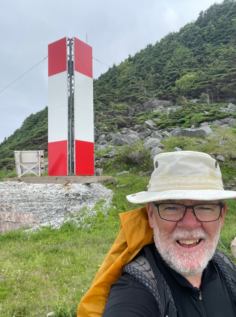
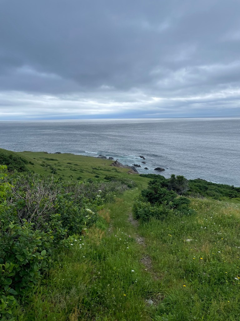
Between May 18 and July 5 of 2023, I walked from The Hawk on Cape Sable Island, the southern tip of Nova Scotia, to its northern tip at Cape North on Cape Breton Island, a 1000+ km trek. This is the story of part of that journey. See these posts to read about the whole journey:
- Cape to Cape #1 – Getting Ready
- Cape to Cape #2 – Cape Sable to Halifax
- Cape to Cape #3 – Halifax to Moser River
- Cape to Cape #4 – Moser River to Port Bickerton
- Cape to Cape #5 – Port Bickerton to Port Hastings
- Cape to Cape #6 – Port Hastings to Inverness
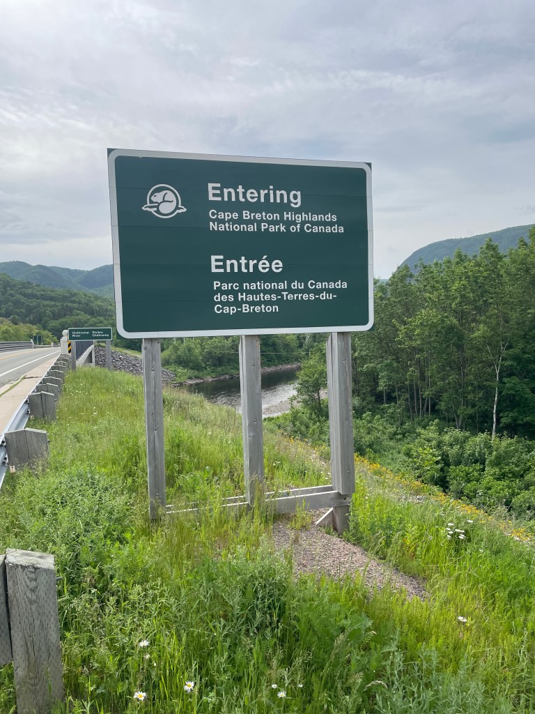
- Cape to Cape #7 – Inverness to Cape Breton Highlands National Park
- Cape to Cape #8 – Cape Breton Highlands National Park to Cape North
A big thank you to everyone who has bought me a coffee over the past year. The Buy Me a Coffee service allows patrons like you to fund writers like me, to cover things like the costs of running this blog, new shoes and gear, and journeys like this. If that sounds like a worthy idea to you, then go ahead – keep buying me coffees.
Where am I now?
Home, in Lunenburg. I’ve had a few days now to let things sink in – that I finished my journey; that I made a plan and saw it through; that I have a life to fit back into, everyday things to do, friends to see, family to hug and hold.

Fun Facts
I walked a total of 1,027 km, which is about the same as:
- walking from Toronto to Montreal and back again
- walking from Paris to Berlin
- walking a bit more than 24 marathons
It took me around 264 hours of walking to do it, so I averaged just under 3.9 kph, which sounds slow but in my defence that walking time includes rest breaks. I probably rested around 10-12 minutes for every hour I walked.

I climbed just under 4500 flights of stairs, according to FitBit, and a flight of stairs in Fitbit-land is equal to roughly 3 meters, making it more than 13 km of vertical ascent (and descent, since I started and ended more or less at sea level). That’s like:
- climbing both Mount Everest and Mount Blanc
- climbing the CN Tower in Toronto 31 times
- descending the 1829 meter deep Grand Canyon more than 7 times
It took me about 1.4 million steps to do it. Think about that the next time you’re walking on an exercise machine.
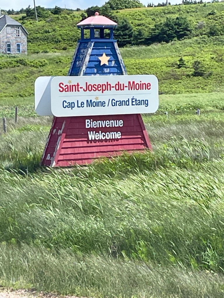
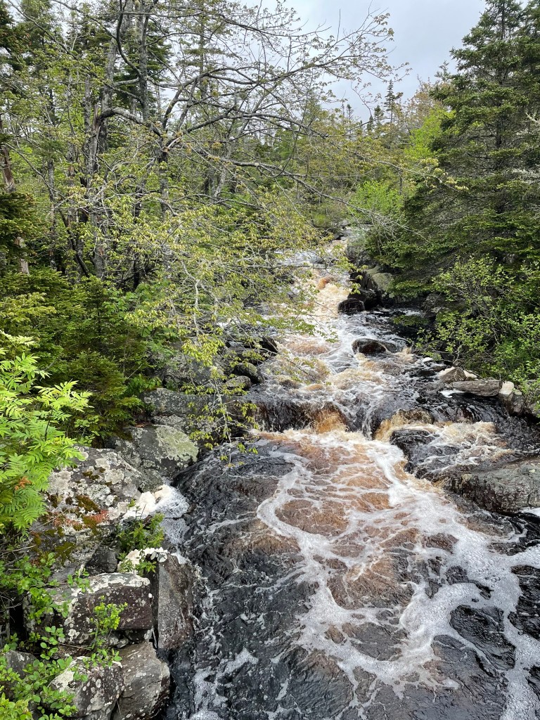
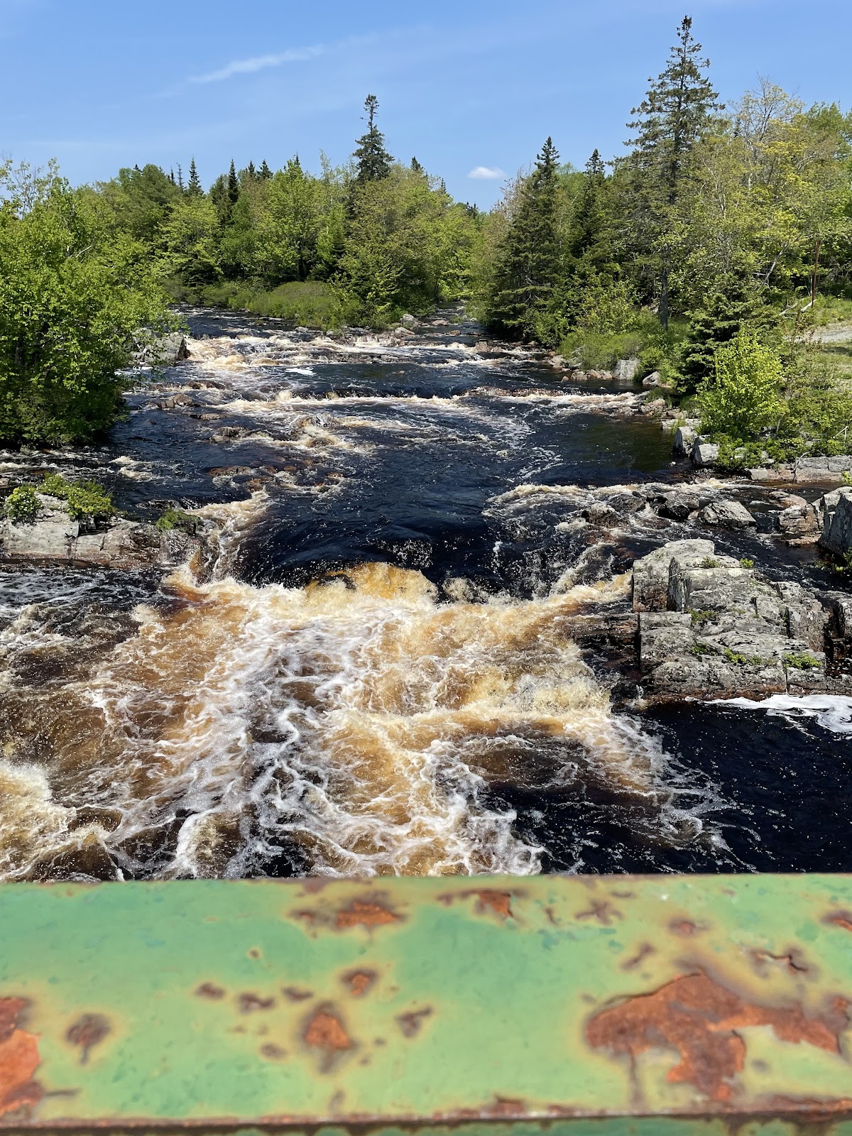
I crossed 32 rivers – here’s the list, see how many you recognize: Barrington, Clyde, Roseway, Jordan, Sable, Tidney, Broad, Mersey, Medway, Petite, Lahave, Mushamush, Martins, Gold, Middle, East (the one west of Halifax), Musquodoboit, West, East (the other East River next to Sheet Harbour), Salmon, Moser, Ecum Secum, Liscomb, Gaspereaux, St. Mary’s, Larry’s, Salmon (the other one near Guysborough), Southwest Mabou, Mabou, Margaree, Fishing Cove, and the North Aspy. Not to mention dozens of brooks and streams.
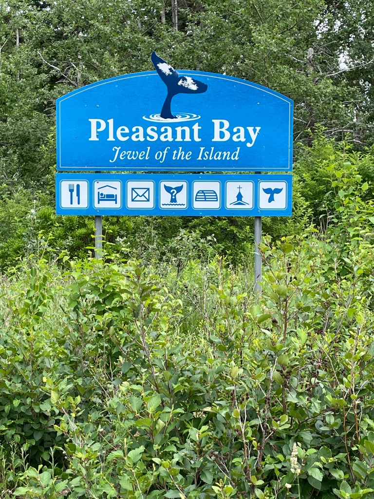
I passed through several hundred cities, towns, and hamlets with names that include one of these words: Bay, Basin, Cove, Harbour, Lake, or Point.
I saw at least one moose, beaver, seal, deer, whale, bald eagle, osprey, otter, fox, snake, turtle, frog, toad, squirrel, and chipmunk.
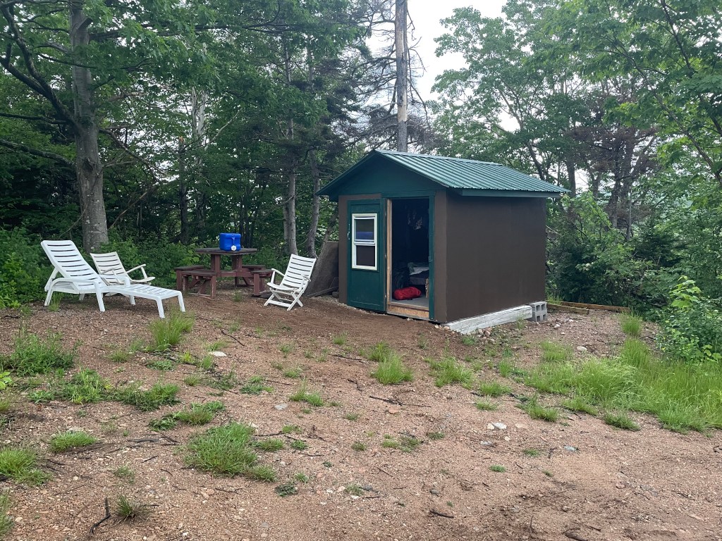
I slept in my tent in provincial park campgrounds, National park campgrounds, private campgrounds, a couple of backyards, and on crown land. I also spent the night in several inns, hotel, and motels, as well as in a couple of apartments, four houses or cottages, a glamping tent, a yurt, a fancy manor inn, an RV, and on the floor of a house under renovation. Somehow I missed sleeping in a barn.

I lost about 5 lbs in weight in total and about an inch off my waistline, and gained a few pounds of leg muscle.
I saw the following objects by the side of the road:
- A spoon, a fork, a knife, in separate locations hundreds of km apart
- A kids backyard play set
- Enough furniture to fit out a living room including a sofa, an armchair, several coffee tables, and an ottoman
- A ladies black patent leather pump, left foot, 3 inch heel, fortunately empty
- A men’s black rubber boot, also empty
- Several tires
- Many banana peels
- Hundreds of work gloves
With hand on heart, I can truthfully sing:
I’ve been to Ecum Secum and I’ve been to Chezzetcook.
I’ve passed through East Port Medway and I’ve walked to Necum Teuch.
I’ve crossed the River Mushamush and been to Mushaboom.
I climbed up Cape North mountain and I’ve seen the lilacs bloom.
From Barrington to St Lawrence Bay I’ve hiked through many trials,
And from cape to cape along the way I’ve gotten a million smiles.
The Blooper Reel
When you take on any project, there will be mistakes made and lessons learned. I am the first to admit that I got lucky on several occasions – the God of Fools was watching over me.
First and foremost, had I started my journey just a few days later in May, I would have been stopped right away by the forest fires near Shelburne. And despite central Nova Scotia getting flooded out with rain for days on end in June, I really only had a few bad-weather days to walk in the rain. So luck played a big part in my ability to complete the journey with minimal fuss.
But the God of Fools also made sure that I was bitten on the arse by my own mistakes, just to make sure that I learned something:
- Like when I tried to follow the maps I was using, stubbornly, when my own eyes told me that there wasn’t a road there to follow.
- Like when I didn’t check my map and just assumed I was on the right road, which took me several km in the wrong direction near Voglers Cove.
- Like when I made accommodation arrangements in advance, but forgot to change or cancel them when I changed my plans. I ended up cancelling things last minute, too late to get a full refund, or even a partial refund in some cases.
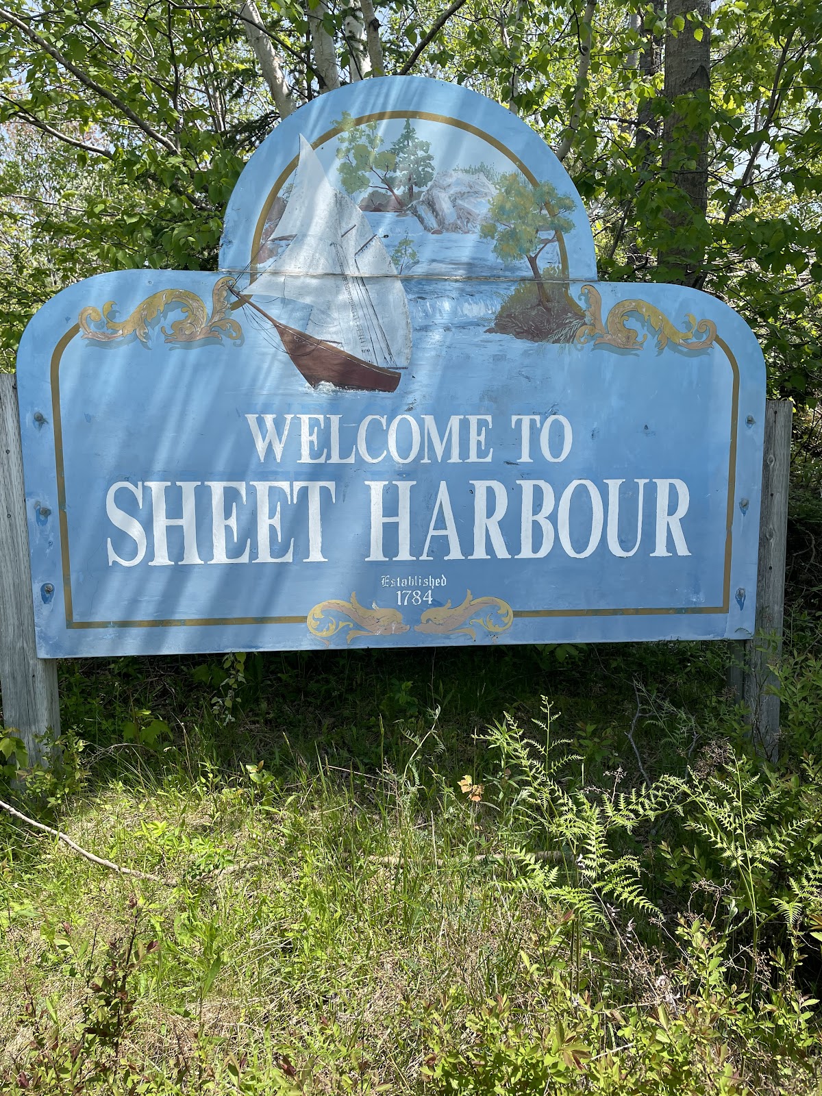
- Like when I refused to use bug spray but sat out anyway amidst swarms of black flies. I was bitten so badly in Sheet Harbour that my ears and right arm were swollen and puffed out red, itchy blisters.
- Like when I didn’t keep my water bottles full and ran low in high temps, near Judique, and nearly collapsed from heat exhaustion.
My Favourite Things
Lupins and daisies and ferns in green grasses,
Sunlight that dazzles the sea through my glasses.
Lichens on rocks and the ferns under forest,
Blue jays and robins and the crows in their chorus.
Tumbling water and waves on sands sings,
These Scotian delights are my favourite things.
Ahem. Apologies for the parody. But here are a few of my favourite things from the journey:
- Favourite coffee – Uprooted Cafe in Musquodoboit Harbour
- Favourite fish and chips – Seaside Seafoods in Hunts Point
- Favourite sandwich – the breakfast wrap from LaHave Bakery in LaHave
- Favourite meal – tie between the lobster dinner hosted by Jude Avery in Larry’s River and the dinner of pasta with cured shad roe prepared by Eric Southey in East Port Medway.
- Favourite campground – Graves Island Provincial Park
- Favourite bit of trail to walk – the stretch of the Celtic Shores Coastal Trail near Judique
- Favourite moment – sitting by the Clyde River just listening to the water
Thoughts
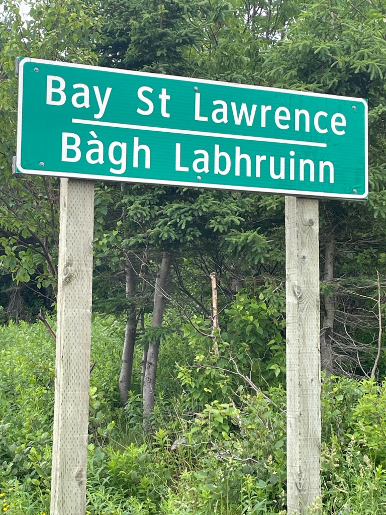
If there was one question that came up again and again from people I met, from Barrington to Bay St. Lawrence, it was “why are you walking this journey?”
There isn’t a single answer to that. What I told people during my journey was part of the answer: that I did it because I wanted to see if I could; that I wanted to explore the province and see places that I’d never visited before; and that deep down, I had this nagging feeling that I’m getting older and if I don’t do these things now, I may not get the chance in future.
But when I was a child, a middle child who was always content to imagine his own adventures, I would make lists, devouring mail order catalogues searching for jack knives and hiking boots and tents and sleeping bags and ropes and axes and all the things that I’d need for the journeys I wanted to make; borrow every book in the town library that told tales of adventures and explorations; and lacking the ability to actually buy the things I thought I wanted or travel off to strange lands, I’d cobble together backpacks from scraps of wood and an old pair of jeans and fill them with cookies and sandwiches and my pretend camping gear, to set off through the nearby fields and bush lots to find my dreams.
And now I am, perhaps, a grown-up child, able to peruse online catalogues to purchase real packs and tents and gear, and buy it and take some food and few clothes, to set off on actual adventures, sleeping in the woods and meeting strange creatures and overcoming fierce adversity to accomplish my quest. Are we not all kids at heart, at least some of the time? Maybe deep down, this was my boy’s own adventure.
I don’t know, to be honest. I’m sure I walked this for many reasons, only some of which are transparent to me. But I do know that I’m glad that I did it.
*****
What was the best part of the journey? Hands down, I’d have to say it was meeting the many, many people who stopped to chat with me. I had dozens of interesting conversations, with people in every community I passed through, always with smiles and often handshakes as well as a few hugs.
The kindness shown, again and again, reaffirmed my belief that most people, in most places most of the time, are decent, warm, thoughtful, and caring, and to be able to share their thoughts as I passed through their community remains my enduring memory.
*****
There were often times when I’d be explaining my journey to someone and they would ask, “are you doing this on your own?” And I would say yes, I’m walking it solo.
Maybe I was in a physical sense, but I was never alone. Ann was always with me. She was constantly in my thoughts, and we would touch base several times a day.
But deeper than that, she was with me because she’s a part of me. We’ve been through a lot together. I could not have completed this kind of journey without her support. Thank you, my love.

What next?
More walks, of course. I have my bucket list of journeys, and I hope to cross off a few more. Ann has relatives in Ireland who are getting older, we haven’t been there in a few years, and we know we need to get there soon. Maybe a walk or 3 there could be next.
And of course, I’ve only scratched the surface of Nova Scotia and the Maritimes; parks I haven’t visited, places I haven’t seen. I’d love to walk the shores of the Bay of Fundy, along both the New Brunswick and Nova Scotia coasts; do the circular hike round Kejimkujik National Park or the coastal path along Cape Chignecto Provincial Park; the rail trail along the Annapolis Valley; or more of Cape Breton Island, along the eastern shore.
But in the short term, I think it’s about consolidation. Sorting out what I learned, what I liked, what I’m leery of repeating. Saving up. Planning and preparing.
And lastly, I think, there’s some writing to do. I told myself on this walk that I should try to turn this into something publishable. So let’s see.

Like what you read? Buy me a coffee. Your donation helps offset the costs of maintaining this blog.