Toronto Discovery Walks

Part of a series on my favourite walking trails in Toronto.

Hey Toronto, remember to practice Physical Distancing during the COVID-19 pandemic! Also be aware that some of the amenities, parks, or services listed below may have limited availability. Please check the links included below for up to date information on what’s open and what’s not.

And now on to the regular post …..

Over the past several months, I’ve written about a number of my favourite walks in Toronto. This time, I wanted to highlight something a bit different.

One of the many great things about living in Toronto is the work that the City has put into exploring its past and making it accessible to a new generation of residents and visitors. One of they ways of doing that is a fantastic program called Discovery Walks.

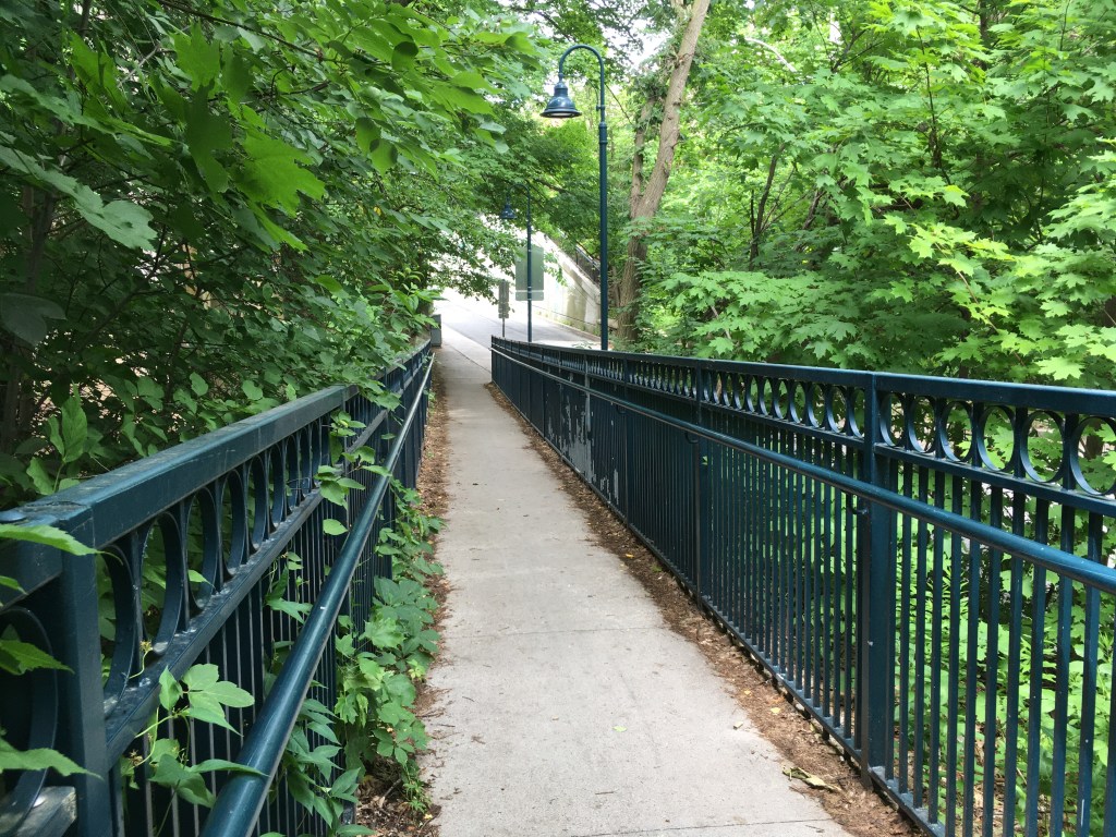
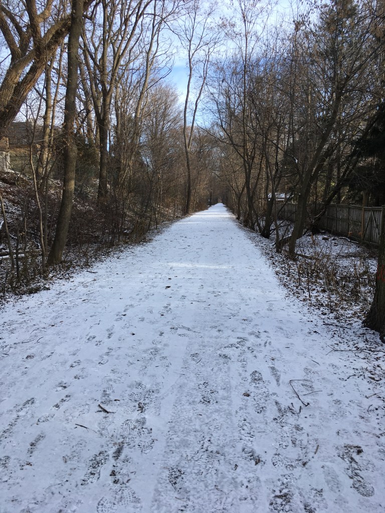
Each of these walking routes explores some of City’s many natural features like the lakefront or the ravine trail system, and along the way points out the history of the City.

For example, the Garrison Creek walk takes you through downtown Toronto following the route of the now-buried creek that, back in the 1790’s, emptied into Lake Ontario near what today is about Bathurst Street. Following this route takes you through some interesting inner-city neighbourhoods that are full of history, as well as fantastic shopping, bars, and restaurants.

Other Discovery Walks include perennial favourites that I’ve covered, like the Beltline. They also include some lesser known yet well worth the walk trails like the upper west Humber, the eastern ravines and the beaches, or the Don Valley Hills and Dales.

If you visit the City’s website, the list of walks shown includes a map for each route. There are currently 11 of them, and they’re all great. Whether you’re a lifelong resident of Toronto or a visitor with an afternoon to fill, check them out! Toronto is a great walking city (ahem, it’s what I’ve been blogging about for months now!) and these walks prove it.

Length: Each trail is different. They are usually in the 1-3 hour range for a typical walker, and you can jump on/off any of these walks in many places.

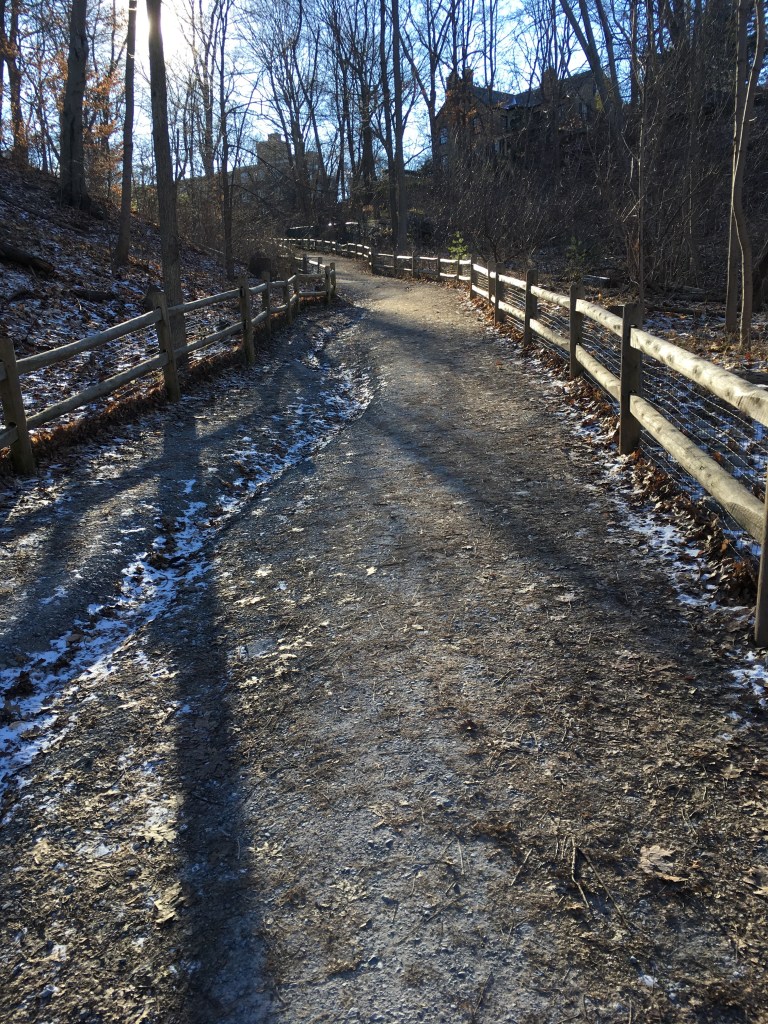
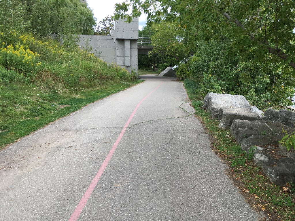
Surface: A mixture – mostly they are paved and suitable for strollers and mobility devices, though there can be some gravel portions. Check each route map for details.

Public Transit: Each walk is accessible at start and finish by public transit, usually a combination of streetcar and subway, with some bus travel too. Each route map has details.

Route: See the City website for details. Each route has a detailed map that you can download.

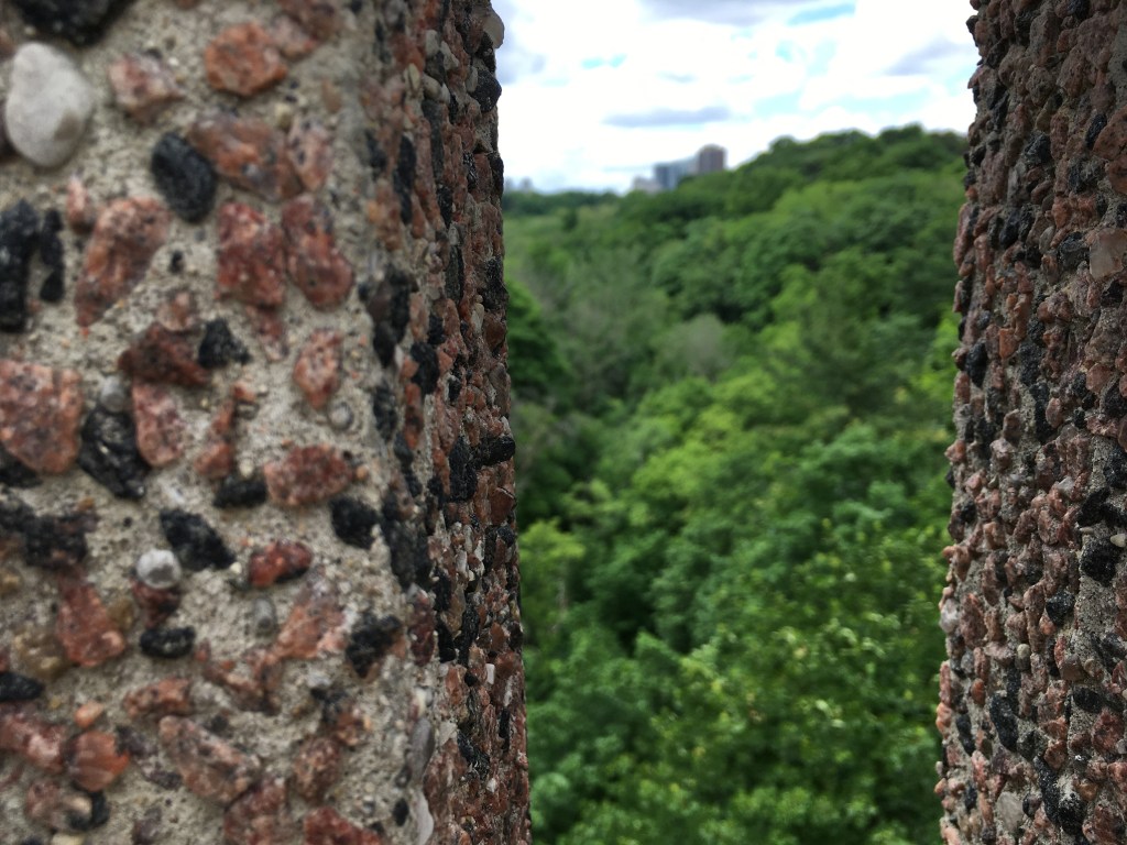
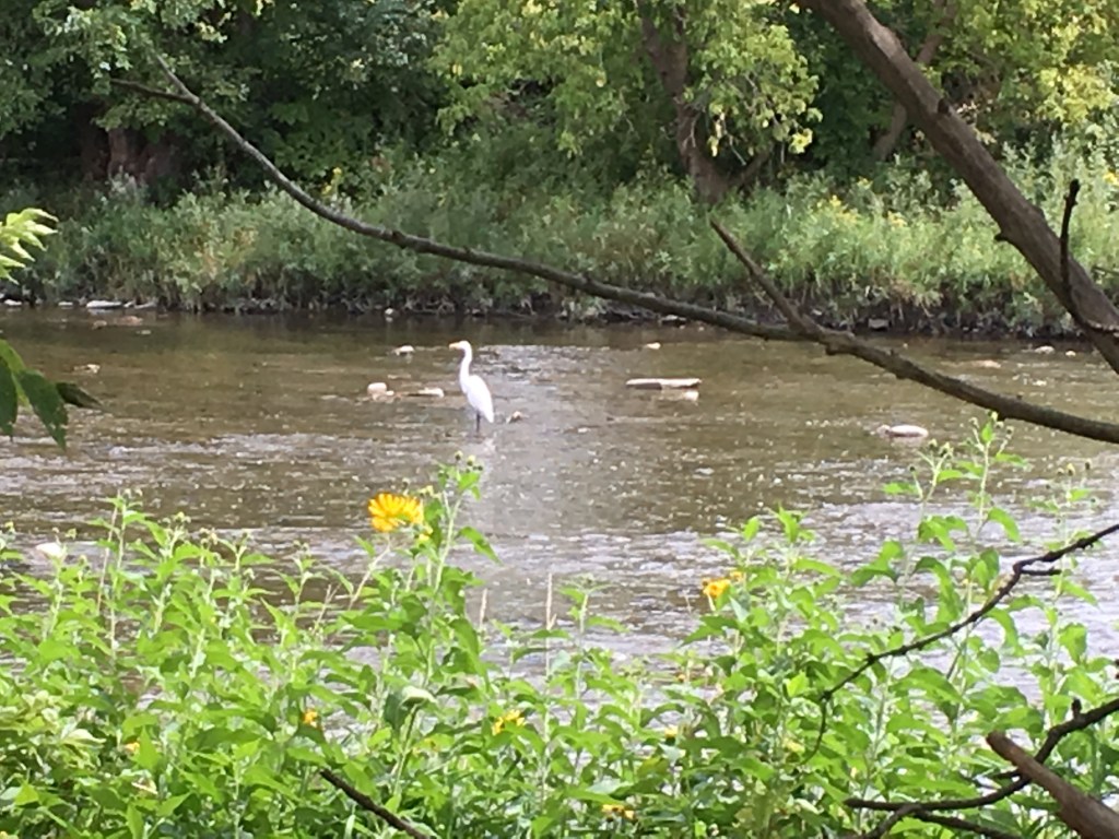
Sights: Each of the walks has many sights to take in. Some are more nature-oriented, like the Humber Marshes, and some are more urban, like the Downtown or Uptown walks.

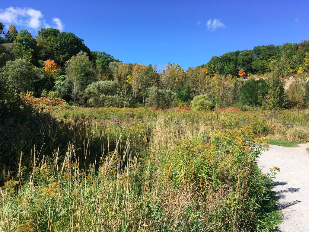
Any of these walks works well in any season. That said, I’ve always liked Toronto best in about mid-October on a crisp early autumn blue-sky day when the leaves have started to turn but it’s still warm enough for light clothes.

Food & Refreshment:

Most of the routes take you past at least some type of refreshments, either along the route or near the start or finish. Each route map will have some details.

Also, most of the routes take you at least partially through various City parks and trails, and there are public washrooms in most of them. There are also water fountains in most parks. Be aware, however, that these are usually seasonal so they are closed between roughly late October through early May.

Besides the public facilities, Toronto is well-endowed with coffee shops, bars, restaurants, and numerous other places where you can make a pit stop of one kind or another.

Diversions:

  1. Can I suggest blending some of my Favourite Walks with the Discovery Walks? Check out my list and you’ll see that portions of my favourite walks cover the same trails (the Beltline for example) as one of the Discovery Walks. You can walk my route but use the Discovery Walk for more historical info. Or you can walk the Discovery Walk and use my walk for pictures and maps. Mix and match.
  2. As the late great Ernie Banks used to say, let’s play two – why stop at one Discovery Walk when you can link them together and make a great outdoor day. For example, the Lambton House walk route is adjacent to the Humber River route.

Favourite Toronto Walks -Rosedale Rambles

Part of a series on my favourite walking trails in Toronto.

Hey Toronto, remember to practice Physical Distancing during the COVID-19 pandemic! As part of its COVID-19 strategy, the City of Toronto has closed the parks noted below. The Trail itself is open for walking, but the parks and their facilities are not.

And now on to the regular post …..

Toronto, like any city, has many neighbourhoods and all of them have some history and uniqueness to them. Some are hip and trendy, some are gritty, and some are upscale and stately. Rosedale is the latter. It’s long been known as a district of fine older homes set amongst quiet leafy streets, and that makes it a great area for a summer’s shady walk. Here’s a route that I’ve done before, and it’s equally great in the spring and autumn too.

Length: around 8 km, so about 1.5 hrs

Surface: paved (except in the parks)

Public Transit: To start, take the subway Line 1 to St. Clair Station. The finish on the route map is at Line 1 Rosedale Station, but an alternative is to finish at Line 1 Summerhill Station, both on Yonge Street.

Route:

Starting at St. Clair Station, exit the subway onto St. Clair Avenue East. Walk east on St. Clair (on the south side of the road to Inglewood Drive. Turn south and follow Inglewood as it bends to the east. Cross Mount Pleasant Road at the traffic lights and continue east on Inglewood to its end, where it bends to the right (south) and becomes Rosedale Heights Drive. Follow Rosedale Heights south and back west until you come to MacLennan Avenue. Turn left (south) and walk down the hill to the ramp on your right leading upwards – follow that onto the pedestrian bridge over the train tracks, over, and down the ramp onto Summerhill Avenue.

Pedestrian ramp over the train tracks at Summerhill

Once you are over the tracks, walk east on Summerhill to Chorley Park (a great spot for a picnic). Wander through the park and exit on the south west corner onto Roxborough Drive. Follow Roxborough west, passing Rosedale United Church and Whitney Park onto Edgar Avenue. Follow Edgar west to Rosedale Park, and turn left (south) onto MacLennnan. Follow that south to the roundabout and take the road to the south-east, Highland Avenue. Follow that southeast to Glen Road. Turn right on Glen Road and cross the bridge over the ravine.

View at the Glen Road Bridge

At South Drive, turn right (east) and follow that to Elm Avenue. Turn right (east) and follow Elm until it turns into Castlefrank Road. Follow Castlefrank east and then south as it bends. At Dale Avenue turn right (west) and follow Dale west to Glen Road. At Glen, turn right (north) and follow it to Maple Avenue, turning left (west) onto Maple and continuing to Sherbourne Street. At Sherbourne, turn right (north) and follow it to South Drive. Turn right (east) on South Drive and follow the curve around to the north, where it turns into Crescent Drive. Keep following Crescent as it curves around to the west and crosses over Mount Pleasant Road. To finish, follow Crescent west to to Rosedale Station, on Yonge Street.

Sights:

What’s lovely about this walk is that you get a combination of stately homes and parks for a rest. It’s a people-watching walk too, as there are always pedestrians out for a stroll. And it can be a fun, spot-the-flash-car walk as well – you’ll run out of fingers and toes before you run out of Porches to count, for example.

Rosedale prides itself on what it thinks of as understated elegance. This is not a bling-house neighbourhood, it’s more old money than new, more Chanel than Versace, more Mercedes than Ferrari. You walk here because it’s fun to imagine the lives behind the curtains.

While there’s no truly dramatic scenery nor any particularly impressive architecture, streets filled with large, red-brick homes dating back to the late 1800s tell a story of solidity and comfort. There is history here, in that the red bricks of the oldest homes probably came from the Don Valley Brickworks, like many of the other famous buildings in Toronto – Old City Hall, Massey Hall, and so on. And the area dates from a time when Canada and Toronto was establishing itself, post-1867 Confederation, as a prosperous, industrious part of the Empire.

While today, Toronto likes to think of itself as hip and is proud of natives like Drake promoting the 6, Rosedale still has a whiff of the Toronto-the-Good era, the so-called blue-light Toronto when nothing opened on Sundays, temperance movements tried to suppress the evils of alcohol, and good citizens meant good Protestants attending church on Sundays. Back then, non-WASPs had their own neighbourhoods, and Rosedale was a solidly white upper-class enclave. It’s more diverse today, but its still upper-class – the area is the wealthiest part of Toronto.

That wealth is visible in the homes, the cars, the land, and quiet streets. It’s also visible in the shops along Yonge, between Rosedale and Summerhill subway stations. There was a time when a strange face wandering through Rosedale would draw attention. Today, it’s less hide-bound, less class-ridden, and less uptight. But there’s a reason that one of the first LGBTQ bookstores in Toronto was called This Ain’t the Rosedale Library.

Food & Refreshment:

Food and refreshments on this walk are mostly around the start and finish – there are many cafes, coffee houses, restaurants, and food shops along Yonge near St. Clair, Rosedale, or Summerhill stations. In the heart of Rosedale, on Summerhill Avenue just over the train tracks, there is the Summerhill Market, Rosedale’s version of a corner store (and a fab gourmet stop on it’s own). All this gives many options to load up for a picnic, and Chorley Park is the perfect spot for that.

There are water fountains at Chorley and Rosedale Parks, available between about May-October, and there are public toilets at Rosedale Park as well. There are also public washrooms at St. Clair in the shopping mall at the north end of the station. Finally, there are washrooms, a great cafe, and water at the Brickworks if you divert from this walk (see below).

Diversions:

  1. An alternative route is to turn north once you cross Mount Pleasant Road on Crescent Road, onto Wrentham Place. Follow that north to Roxborough Street and turn left (west), then north on Chestnut Park. Wind through these little streets and find Cluny Drive, turn north, and find Rowanwood Ave. Follow that around to the east onto Thornwood and then north and around to Pricefield Road. Take Pricefield west all the way past the Pricefield Playground and into Scrivener Square by the old Summerhill train station that is now the Summerhill LCBO at Yonge Street. Turn right and walk under the train tracks to Summerhill Avenue to the Summerhill Station on Line 1. This diversion takes you through more quiet, charming back streets and lets you end by the gourmet shops at Scrivener Square.
  2. Another fun diversion is to cut through Chorley Park and join the connector trail that descends into the Moore Park Ravine – this will put you opposite the Don Valley Brickworks, and you can pop in there for a potty stop or food/water/coffee. The Chorley Park connector trail also puts you onto the Beltline Trail, and you can follow that south and around past the Brickworks. The Beltline continues north up through David Balfour Park, under St. Clair Avenue, and on into Mount Pleasant Cemetery to finish near Davisville Station on Line 1 subway. Or you can climb out of the trail just before you get to St. Clair, and walk back along that road to finish back at St. Clair Station.
  3. You can also take the Chorley Park connector, follow the Beltline around, and then take Milkman’s Lane to climb out of the Yellow Creek Ravine and into Rosedale. This will put you onto South Drive by Glen Road, where you can rejoin the main route described above.

Favourite Toronto Walks

After looking back, I realized that I’ve written a number of posts about favourite Toronto walks, and I wanted to collect them together in one place so that you could find them.

Favourite Toronto Walks – The Beltline

Part of a series on my favourite walking trails in Toronto.

Hey Toronto, remember to practice Physical Distancing during the COVID-19 pandemic!

And now on to the regular post …..

The Beltline is one of Toronto’s best known and favourite walking trails. There are actually two, connected Beltlines – the York Beltline which runs from just north of Eglinton near Caledonia Road over to the Allen Expressway, and the Kay Gardiner Beltline which runs from the Allen to the Don Valley Brickworks.

Length: about 15 km for the full length, approximately 3 hours

Surface: about 50/50 gravel and paved. The York Beltline is paved and the Gardiner Beltline is mostly gravel with some paved sections in Mount Pleasant Cemetery

Public Transit: To get to the start, take the Eglinton 32 bus west to Caledonia Road from either Eglinton or Eglinton West/Allen station on the Line 1 subway. From the finish, walk up Yonge from the north-west corner of Mount Pleasant Cemetery about 300 m to Davisville Station on the Line 1 subway.

Route: The start of the York Beltline is a few blocks north and west from the intersection of Caledonia Road and Eglinton, near the Canada Goose outwear factory. It follows a well-marked paved trail east roughly parallel to and just south of Castlefield Avenue. At Marlee Avenue, you have to leave the trail, walk north about 50 m to cross at the traffic lights, then follow Elmridge Drive over the Allen Expressway. Just after you cross the bridge over the expressway, turn right (south) onto a trail that runs parallel to the Allen, and just off that pick up the trail again, walking east on what is now the the Kay Gardiner Beltline Trail. Follow that east all the way to Mount Pleasant Cemetery, just past Yonge.

Just after you cross the bridge over Yonge, there is an entrance from the Trail into Mount Pleasant Cemetery. You can follow the marked Beltline path within the Cemetery, where the Beltline is marked by painted lines on the road. Alternatively, you can walk along the Beltline Trail outside the cemetery east to Mount Pleasant Road, where there is another entrance into the Cemetery that joins the marked path on the road.

Follow the Cemetery road markings east under Mount Pleasant and then south to exit the Cemetery on Moore Avenue, crossing that road to enter the Moore Ravine. Follow the trail downhill towards the Brickworks. You can divert or end here, if you’d like, or you can just make a quick pit stop and then keep going.

The Beltline Trail proper runs just to the west of the Brickworks and heads toward Bayview Avenue. There is an entrance to the Brickworks trail network at the northwest corner of the Brickworks property, and another entrance further south off the Trail, opposite the main buildings. Use either entrance to pit-stop here.

Leaving the Brickworks, walk past the parking lot on the southwest corner to pick up the trail as it bends around to the west parallel to Bayview Avenue. It then climbs up a little hill, then turns northwest and drops down into the Yellow Creek ravine.

Follow the trail north until you come to Mount Pleasant Road. Cross carefully! The traffic always seems to be doing 10-20 kph faster than the speed limit and there is no formal crosswalk. If you’re nervous, turn south when you come off the Trail at Mount Pleasant and walk about 100m to climb some stairs up to Crescent Road. This crosses Mount Pleasant on an overpass, and on the other side you can then descend back to Mount Pleasant and walk north to pick up the Trail again at the entrance to David Balfour Park.

Here the Trail keeps going north through the Yellow Creek ravine. The official trail climbs out of the ravine just south of St. Clair Avenue on Rosehill Avenue (on the northeast corner of the Rosehill Reservoir), but you can follow the rough unofficial trail under St. Clair along the west side of the creek. This takes you to a gated entrance back into Mount Pleasant Cemetery. Follow the road up out of the ravine and wind your way back to the northwest corner of the Cemetery. Leaving the Cemetery here takes you back to the Beltline Trail and completes the loop. Congrats, you’ve walked it!

From here, take the stairs down onto Yonge Street, then turn right and walk north a few hundred meters to Davisville Station, or else south and walk about 1 km to St. Clair Station.

Sights: I love walking the Trail at any time of the year. My favourite time is probably in the early autumn, just after the trees have started to turn colour, on one of those blue-sky, crisp days we get in October.

Summer is great as well, with wildflowers, shaded lanes, grasses, and laughing children along the way. And then a clear winter’s day can be gorgeous as well. And of course, spring is great when you’re itching to get out and the birds are singing everywhere.

Each season brings its own sights and sounds and smells. They’re all fantastic, and that’s probably what makes the Beltline the busiest Trail in the city. Mid-week is lighter traffic than weekends, but if you like people-watching than any holiday weekend with decent weather will bring out the crowds.


Food & Refreshment: On the Trail itself, there are several water fountains along the way: near Walter Saunders Park; at the entrance to Mount Pleasant Cemetery; and in Mount Pleasant just before you cross Moore Avenue. These are available from May to end of October.

Just off the Trail, there are several food options. There are pizza, fast food, and coffee options on Eglinton near Caledonia Road, at the start of the York Beltline. There are similar places near Davisville Station at the other end. There are also several coffee places on Castlefield, parallel to the York Beltline. Finally, there is the Saturday farmer’s market at the Brickworks, and the everyday option of Cafe Belong, also at the Brickworks.

Diversions: There are several ways to vary the walk, including:

  1. Walk it in reverse, from east to west
  2. Shorten it, by starting and ending at the northwest corner of Mount Pleasant cemetery and just walking the loop through the Cemetery, the Moore Ravine, and the Yellow Creek/David Balfour Park portions.
  3. Shorten it even more and just walk from the Cemetery to the Brickworks.
  4. Just outside the Brickworks, on the west side of the Trail, there is a linking trail up out of the ravine to Chorley Park in Rosedale. Climb that to get a fantastic view east over the ravine – spectacular in the autumn.
  5. Instead of following the Yellow Creek Trail to David Balfour Park, take Milkman’s Lane up out of the ravine into Rosedale, and then wander through there over to Yonge. Depending on your route, you’ll probably end up near either Rosedale or Summerhill Station.
  6. Incorporate portions of the Trail into other walks, such as what I call the Midtown Cemetery Walk.

The Trail is a great way to explore Mid-Town, get some exercise, and explore Toronto history. Enjoy!

Favourite Toronto Walks – Mid-town Cemeteries

Part of a series on my favourite walking trails in Toronto.

Toronto, as you probably know, is blessed by geography in the form of the many ravines that cross the city. Over the years, some of these have been woven into the fabric of Toronto as cemeteries.

As I’ve mentioned before, there is something very calming about walking through graveyards. Since Mount Hope, Mount Pleasant, and Prospect cemeteries are all within a few km of my home in mid-town, I’ve worked out a walking route that takes these in and ties them together with some interesting neighbourhoods and paths. The route is lovely any time of the year, but if I had to pick early autumn is my favourite, when the trees are just turning colour.

Length: about 16-17 km, probably between 3.5 and 4.5 hours duration depending on your pace and exact route meandering through the cemeteries

Surface: about 80% paved; only the Kay Gardiner Beltline is gravel

Public Transit: take Subway Line 1 to Eglinton Station to the start; take the eastbound 512 St. Clair Streetcar at the exit of Prospect Cemetery, to get back to the Subway Line 1 at St. Clair Station

Route: Starting at Eglinton Station, walk north on Yonge Street to Erskine Avenue. Go east on Erskine to Mount Hope Cemetery entrance. Walk through cemetery (I like to bear left – to the north – and walk next to the Blythwood ravine) to the exit gate on Bayview Avenue.

Turn right and go south on Bayview to entrance to Mount Pleasant cemetery (about 2 km). Walk through Mount Pleasant (lots of options for meandering) and pick up the Beltline path markers at the west end of the eastern section of the cemetery. Follow the Beltline markers through the underpass beneath Mount Pleasant Road, and then more meandering options through the cemetery to get to the exit at the north-west corner of the cemetery.

Join the Kay Gardiner Beltline and head west all the way to its end at the Allen Expressway. Turn right and go north slightly, to Elmridge Drive and cross the Allen, continuing across Marlee Avenue. On the south-west corner of Marlee and Roselawn (note Elmridge turns into Roselawn when it crosses Marlee), turn left and go south a few meters to the start of the York Beltline trail. Follow this west all the way to the finish at Bowie Avenue.

Exit the trail and walk east along Bowie to Caledonia Road, then south on Caledonia to Eglinton. Go east a couple of blocks to the northern entrance to Prospect Cemetery.

Meander south through Prospect Cemetery to the south entrance on St. Clair. Turn left (east) and cross the street to catch the streetcar back to Line 1 St. Clair station.

Sights: The best part about this route is the variety of sights and sounds, terrain and trails. There’s the calm orderliness of rows of headstones; the subtle geometry of hills and grassland and trees and gardens; the colours in any season; the scents of new cut grass and flowers, and the food smells amongst the shops along Bayview; the sounds of kids playing, dogs barking, birds singing; the crunch of gravel underfoot.

In themselves, these cemeteries are fascinating time-capsules. The history of Toronto is written in the names on the headstones, and you can piece together the waves of immigration by the names and dates. There are the graves of the famous (former Prime Minister William Lyon Mackenzie King in Mount Pleasant cemetery) and the humble (the graves of the several different orders of nuns in Mount Hope cemetery).

Tying them together are the trails and streets of mid-Toronto. The Kay Gardiner Beltline Trail and the York Beltline Trail follow the route of the Beltline Railway, which carried goods from mid-town to the terminal stations further south. Bayview is a major road and is the main street of Leaside, one of Toronto’s early planned neighbourhoods that dates back to the 1920s. And of course starting on Yonge and ending on St. Clair puts you into some of the most vibrant areas of Toronto.

Food & Refreshment: There are lots of options at the start and end of the route. I suggest fuelling up with a good breakfast or early lunch in the Yonge and Eg area, where there are many options, ranging from organic juice bars to old school diners to grocery stores. At the finish on St. Clair, a short walk east from Prospect Cemetery takes you into the Corso Italia, where you can reward yourself with a gelato, an espresso, or a beer.

Along the way, the stretch along Bayview between Soudan Avenue and Davisville Avenue is packed with shops, restaurants, coffee stops, and bars, so there’s lots to choose from. The Beltline trails don’t have anything directly on them, but you can duck out at say Oriole Park, or near Castlefield Road, where there are a few coffee shops.

Toilet facilities can be a challenge between November and April. In warm months, there are public washrooms in some of the parks along the way, but these close in the cold months. There is one year-round toilet in Mount Pleasant Cemetery, near the office in the middle, but otherwise you’ll have to leave the route to hit a coffee shop.

Diversions: There are several ways to add some variety to the route.

  1. Walk it in reverse – it’s uphill this way, and it’s fun to end at Yonge & Eg and the shops/bars/restaurants.
  2. Split it up – a good mid-way point is to bail out as you leave Mount Pleasant Cemetery, near Oriole Park. That puts you at Davisville Station on Line 1, an easy way to jump back on.
  3. Exit Mount Pleasant Cemetery through the main entrance in the south-west corner and walk down Yonge to St. Clair. This way you skip the Beltline and instead walk along St. Clair to Prospect Cemetery, passing through the Wychwood, Hillcrest, and Corso Italia neighbourhoods with their shops, restaurants and bars . This lets you finish on Eg, and you can take the bus back to Eglinton Station on Line 1. In winter this can be a better route, especially if it’s muddy on the Beltline.
  4. There are several other cemeteries in mid-town that you can incorporate into the route. There is St. Michael’s Cemetery, tucked behind a gate off Yonge just south of St. Clair. There are also the series of small Hebrew cemeteries along Roselawn Avenue between Avenue Road and Bathurst, just north of the Beltline Trail. Each of these are interesting in their own way, expanding on the story of Toronto as they illustrate the waves of immigration that have made up the city over the past 150 years.

Walking the Humber

Over the past couple of years, I’ve walked the Don River many times, and recently I walked the lakefront as part of my trek across the city from Etobicoke Creek to the Rouge River. On my list of walks in Toronto, there was one, however, that I had never done – walking the Humber River. Late this past summer, in early September, I decided to scratch that itch.

The Humber rises well north of the city, and flows through western Toronto from the city boundary at Steeles Avenue and down to Lake Ontario. Like the Don River, there is a well-laid out trail system and a series of parks that let you walk most of its length, and also like the Don there are also a few private areas like golf courses that force some detours.

I started my journey at the Lake, in Sunnyside Park, which is on the east bank of the river. The boardwalk here leads directly to the Humber Bay Arch Bridge.

On a Sunday in early September, it was crowded with walkers and cyclists. I followed the Humber Trail path which starts on the west bank of the river at the Sheldon Lookout. The river is quite wide here compared to the Don – the Humber is actually a much more substantial river than the Don is in terms of water volume, and at the mouth of the river on this day there were a couple of canoeists out as well as a guy on a jet ski heading out onto the lake.

The path at the mouth of the river heads straight north, and takes you under the Gardiner Expressway and the adjacent Lakeshore Boulevard. You are right beside the river and there are marsh areas full of waterfowl on the eastern bank, but the traffic noise and the dark tunnels under the roadways take away any sense of the natural environment. It’s a relief to clear those and emerge into sunshine, and within a few hundred meters you’re back amongst the trees.

Walking north, I passed a mural painted along a fence by the Humber Water Treatment Plant. It was done as part of the Toronto Street Art project by Anishinaabe artist Philip Cote, and it explores different themes from Anishinaabe culture in a street-art/graffiti kind of style. I was struck by the vivid imagery, and it reminded me that the Humber was part of the transportation network of rivers used by the First Nations peoples who lived here prior to the immigration of Europeans.

The land where the City of Toronto is now was settled by First Nations peoples for many hundreds, if not thousands, of years prior to the arrival of Europeans. The name of the city itself, Toronto, comes from the Mohawk language. And yet, while we rightly celebrate the cultural diversity of Toronto, we always seem to do it in terms of the global melting pot – we talk about the United Nations of Toronto and we seek out restaurants and foods from dozens of cultures outside of North America. We rarely, however, talk about the other nations that were already here when Europeans first arrived – the Mohawk, the Seneca, the Algonquin, the Ojibwe, and others. There are many clues to this history scattered about the city in place names, street names, historical plaques, and now this mural, and for the rest of my walk that day along the Humber, I mulled over this vital part of our history and asked myself why we take it for granted.

Pre-colonization, and early in the colonization period, in the 1600’s and 1700’s, the Humber River formed part of the canoe route from the Great Lakes into the interior of the province of Ontario, helping to connect Lake Simcoe to Lake Ontario along what has become known as the Carrying Place Trail. One of the first Europeans to travel along the Humber, at least according to a somewhat murky history, was the Frenchman Etienne Brule, and so today there is Etienne Brule park along the river. I had forgotten about that part of the city’s history – as Yogi Berra said, you can see a lot just by observing.

Continuing north from the park, the Humber Trail goes up the east bank of the river in this section. You soon pass the first of several fish ladders that have been added to the river. These small dams help with flood control, and since the river is part of the Lake Ontario salmon run, the fish ladders help them as they head up river to spawn.

I kept going, on the lookout for a quiet spot to sit for lunch, and around Magwood Park I found a nice bench overlooking the river beside another fish ladder, a perfect spot to stop for a bite.

It was a coolish day, but nevertheless I had worked up a sweat on my hike, so when I stopped for lunch I had to put on a jacket. It was a reminder that late summer would soon turn to early autumn.

After that pause, I kept going north. I had had thoughts of going all the way up to Steeles Avenue, but part way along I changed my mind and decided to aim for Eglinton Avenue. The Humber Trail keeps going north and I could have caught a bus and gotten home from Steeles that way. Instead, by turning east at Eglinton I could cut through back streets to pick up the York Beltline trail and walk all the way home.

Between Magwood Park and Eglinton, you cross the river to the west bank, near Dundas Street. As I walked north, I was struck by how much quieter it was along the Humber compared to walking along the Don. I didn’t miss the constant traffic on the Don Valley Expressway. Instead, the wider Humber river flowed between shaded river banks with marsh areas attracting many herons, geese, ducks, and gulls.

I was really enjoying the walk and was disappointed to realize that I’d come to Eglinton after only about 2 hours. I didn’t want to leave the river, but by this time I also realized that the new running shoes I was breaking in had led to a hot spot on the heel of one foot. That confirmed that here was where I’d have to start heading back home. I crossed Eglinton and took one last picture of the Humber as it flows under that busy road.

The walk home from this point was a different kind of adventure altogether. After the peacefulness of burbling water, I was back into traffic and city streets. I didn’t want to walk along the busy Eglinton Avenue, so I skirted north aiming for Tretheway, so that I could cut through the Mount Denison neighbourhood and cross Black Creek Drive and Keele Street.

As I walked up and down the hills in this area, the hot spot on my heel turned into a full blown blister. Stubbornly, I decided to tough it out and kept walking. I told myself if it got really bad, I could just jump on a bus and let the TTC get me home, so I gritted teeth and kept going.

When I reached the York Beltline, near Caledonia Road, I knew I had about 45 minutes of walking to go so after a short break to catch my breath, I set my mind to ignoring the blister to see this through. I was limping by now, but I didn’t want to quit. Each one of those 45 minutes seemed to take about 90 seconds instead of 60, but slowly I got closer to home. It was a relief to finally reach our flat and take off my shoes to survey the damage. There was a raw patch on my heel, and that night I resolved to always carry a blister kit in my pack.

Once home, and out of my shoes, I reflected on the Humber. I think I prefer walking along it compared to the Don River, because of the traffic noise that can overwhelm you along the latter. I definitely would like to keep going and walk the whole length of the river within the city boundaries, and the cool thing is that if you keep going north of Steeles, there are trails along the Humber that continue north for another 10 or 20 km. I need to add that to my bucket list, so that I can say that I’ve walked the length of the Humber.

But that’s a trip for another day.

Walk Journal – July 27

Where: Parks (Cedarvale, Ramsden, Chorley, Oriole), ravines (Cedervale, Nordheimer, Moore), neighbourhoods (Forest Hill, Rosedale, Bennington Heights, Moore Park, Chaplin Estates), and trails (Beltline, Lower Don) in mid-town Toronto

Duration: about 4 hours, around 18.5 km

Weather: Summery hot, about 28 C with a lot of humidity that made it feel like the mid-30’s, and a mix of sun and rain showers

I hadn’t done a long walk in a couple of weeks, so it was time to stretch out a hike. While it was warm, it wasn’t crazy hot and there was a nice breeze at times that helped to cool things. I decided to make a big loop heading west along the Beltline to the Allen Expressway (why does everyone lean over and touch the wall when the reach it?) and then south through the parks and ravines to get to Ramsden Park.

Crossing Yonge, I headed down into the Rosedale Valley and followed that it to Bayview to pick up the Lower Don Trail, and then turned north up to the Brickworks. I was going to take a break there before continuing up the Don Valley to come home through Sunnybrook Park, but there were threatening skies looming so I decided to come home.

That meant a detour up through Chorley Park in Rosedale, where I took a wrong turn, forgetting that you can’t cross the train tracks north of the park, and ended up heading walking back east along Douglas and over Governor’s Bridge into the Nesbitt Park neighbourhood.

That detour took me back to Bayview south of Moore Avenue, so I had to climb up to cut through Bennington Heights to Heath St. East, and then across the pedestrian bridge over the Moore Ravine and into the Moore Park neighbourhood. From there I went west to Mount Pleasant Road, north to Mount Pleasant Cemetery, then northwest through the Cemetery to connect with the Belt Line near Yonge. I was almost home by then, and just had to follow the Belt Line to Oriole Park and turn north Lacelles Boulevard through the Chaplin Estates neighbourhood to Eglinton, and on to home.

The threat of rain, which never did turn into more than light showers, kept me walking without a break, so by the time I got home I was tired and hungry. It had been a deceptively warm day, with the humidex over 30 C but with enough clouds and breeze that it didn’t feel that bad while walking, and yet those kinds of days are draining – I was dripping by the time I got home. I’m enjoying the summer, but I’ll be glad to get a nice autumn day with blue skies and about 15 C.

On a walk like this, my focus is on the workout, keeping a steady pace up and down the hills while remembering to hydrate. I’m wasn’t really paying too much attention to my surroundings, but nevertheless I did notice a few vignettes that stuck with me: the cricket match underway in Cedervale Park (a bowler with a funky herky-jerky run-up, the “well run” shouts for a stolen single on a dribbler to 3rd slip). Or the way the light rain brought out the colours of the flowers along the trail. And then there was the discovery of what is probably a namesake distant relative, Jimmie Bradt, buried in Mount Pleasant Cemetery.

There were lots of people out, walking or biking, and it’s always fun to listen in to parents coaching their young children on their bikes, or to eavesdrop on conversations as you pass someone. I heard the cry of a hawk a couple of times, in the Don Valley and in Mount Pleasant, and followed a trio of birders who were in turn following the sounds of the hawks (“did you see the other one?” “they are nesting over there”).

These walks also offer a chance to choose a street or a path that you’ve never followed, even if you’re in a familiar neighbourhood. Today it was Standish, north of Chorley Park. It’s a quiet little street that is in a cul de sac neighbourhood, because of the train tracks to the north that can’t be crossed. Traffic is minimal so there are lots of kids out playing, and there’s lots of trees to shade the sidewalks. It looks like a great place for families.

It was a fun walk, and a good cap to the week. I’m thinking of doing my Toronto to Niagara-on-the-Lake trip in late September or early October, and I need more walks like today to stay in shape and be ready. I felt pretty good today, covering more than half the 30 km I plan to cover each day on that journey and doing it in under 4 hours. I need to keep that up to be ready, and I’m looking forward to it. Till then, I’ll enjoy the weather and the walks.

Walk Journal – May 19, 2019

Where: Chaplin Estates, Belt Line, Mount Pleasant Cemetery, Moore Ravine, the Brickworks, Pottery Road and Pape Village to the Danforth, then back along the Danforth over the Bloor Street Viaduct and then through Castlefrank and Rosedale to Summerhill & Yonge and up Yonge to Deer Park and back through Chaplin Estates to home.

Duration: about 3.5 hours walking, and around 17 km

Weather: Spring! 18 C and sunny enough for a sunburn

My walking regime this year so far has been patchy at best. I’ve put back on some weight that I’d lost, and I’ve been feeling flabby and out of shape. My weekly target of 60 minutes of walking 5 days out of 7 has mostly gone by the wayside, and the weather has been chilly and teasing – the calendar might say spring but the temperatures don’t.

On a holiday weekend, you never know what you’re going to get. Last year on Victoria Day we had a great walk through High Park and then up the Humber River. This year we decided to walk east, and visit the Danforth and Toronto’s Greektown neighbourhood, and the weather forecast was promising.

The most direct yet still interesting route took us through familiar streets to the Beltline Trail and then east along that into Mount Pleasant Cemetery. From there we followed the Trail into Moore Ravine and down into the Don Valley into the trails of the Brickworks. On a nice holiday weekend day, there were hordes of walkers, families, dogs, bikes, runners, and self-snapping young couples. We took our time going through the Brickworks trails, and then crossed Bayview to the Lower Don Trail to head back north up to Pottery Road. Walking along that brought back memories as we passed Fantasy Farm – back in the 1980’s when I was at Glendon College we’d had several formal banquets there at which I had let down my student hair in epic fashion – and then it was the grinding climb up the hill to Broadview.

From there we meandered through back streets to arrive at the Danforth at Carlaw. The sun was out and the outdoor tables were packed. We found a spot at the Alexander the Great Parkette and grabbed takeout gyros from Alexandros to eat in the sun.

After that tasty pitstop, it was a stroll along the Danforth to Broadview, where my wife decided to hop on the subway home, while I kept walking. My route took me south on Broadview to Riverdale Park and down to one of the trails. I was trying to connect to the Lower Don Trail, but I guessed wrong and didn’t find the connector trail over the Don Valley Parkway – instead I ended up heading north and back up to Danforth at the Bloor Street Viaduct, so I decided to cross the bridge (since I’d come to it!) and cut through Rosedale to head home.

Walking through the neighbourhood, I thought about the essay my son is currently working on, on the subject of sustainability and how that is manifested in Toronto. One of his study areas is Rosedale. On paper this neighbourhood doesn’t have a large amount of green space, at least when defined in terms of public parks. And yet, the trees coming leaf and the ample yards and gardens of the large houses certainly gave a strong impression of verdancy, and the wealth displayed by the luxury cars parked in front of every house contrasted with the TTC bus stops scattered along the side streets. Does it count as sustainable if that neighbourhood has a higher percentage of Tesla’s than other areas of the city?

At the same time, there’s no question that it’s a lovely place to live. It’s always quiet and charming walking through Rosedale and it was no different on this walk. I know my way through there by now, having walked it many times, and I meandered along back streets between Castle Frank and Summerhill where I connected with Yonge Street.

Interesting fact – on Castle Frank Road, the Netherlands consulate owns a house, marked by the large Dutch flag out front. There is also a commemorative plaque beside a tree, planted in honour of the many thousands of Canadian troops who helped to liberate the Netherlands during the Second World War.

At Summerhill, Yonge Street led me up the hill to St. Clair and into the Deer Park neighbourhood, and onwards to Oriole Park. I passed a baseball game in progress that brought back memories of my son at 7 playing there. I kept going through the Chaplin Estates back to Eglinton and up Oriole Parkway to reach home footsore and sunburned.

In the end I’d done more walking in one day than I’d done in several weeks over the past few months. It felt good to be tired, like I’d worked out and deserved to sit for awhile and watch a baseball game.

It was a great spring walk, on our first really proper sunny spring day of the year, and now I need to build on that and get back into my routines. Stretching out your strides with the rhythm of walking feels good at anytime, but it’s especially sweet when it’s the first time all year you can finally go out in shorts and a T shirt.